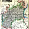
CURRENCY
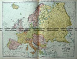
Europe
J Wyld – circa 1820 Hand coloured steel engraving 29cm X 22cm Condition A+
SOLD
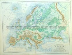
Antique Map 4-186 Europe – Topographical map by Blackwood c.1890
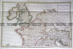
Antique Map 232-148 L’Empire Romain by D’Anville c.1797
Antique Map 232-401 Europe by Cruchley c.1834
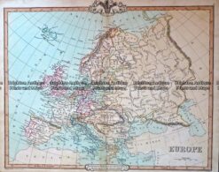
Antique Map 233-219 Europe by Rand McNally c.1894