CURRENCY
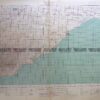
England A Ball – circa 1773 Copperplate engraving Condition A+
SOLD
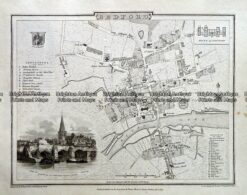
Antique map – Bedford Street Map by Verner, Hood & Sharpe c.1805 Ref# 232-716
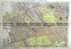
Antique Map 233-295 London – North West Central by Stanford c.1887
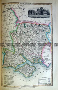
Antique Map 230-484 Hampshire by Slater c.1846
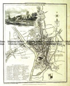
Antique map – Worcester Street Map by Verner, Hood & Sharpe c.1805 Ref#232-750