CURRENCY
England A Ball – circa 1773 Copperplate engraving Condition A+
SOLD
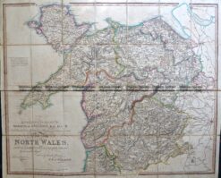
Antique Map 4-201 Wales – northern Counties by Walker c.1824
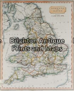
Antique Map 4-140 – England and Wales George Virtue – circa 1840 Hand coloured steel engraving 20cm X 25cm Condition A+
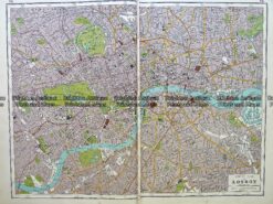
Antique map – London street map by Harmsworth c.1920 Ref# 232-917
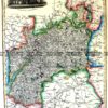
Antique Map 5-161 – England – Berkshire Moule – circa 1840 Hand coloured steel engraving 26cm X 19cm Condition A+