CURRENCY
London and its Enviroment
B Davies – circa 1854 Hand coloured steel engraving 70cm X 70cm Condition A+
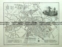
Antique map – Coventry Street Map by Verner, Hood & Sharpe c.1805 Ref#232-721
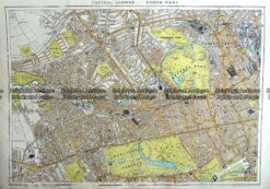
Antique Map 233-295 London – North West Central by Stanford c.1887
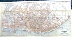
Antique Map 5-182 Lisbon Street Map by Wagner & Debes c.1911
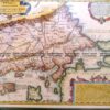
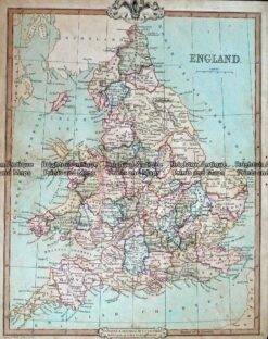
Antique Map 232-403 England by Cruchley c.1834