CURRENCY
$180.00
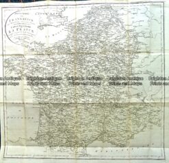
France by Teesdale &;c.1847
Hand coloured steel engraving 41cm X 33cm Condition A+
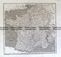
Antique Map 233-407 France by Arrowsmith c.1807
Antique Map
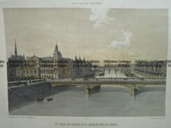
Antique Map 230-186 Paris c.1880
Antique map – Western Front c.1920. Ref: 232-709