CURRENCY
Holland &;c.1880
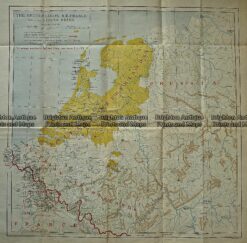
Antique Map 5-170 Holland or The Netherlands by Thomson c.1820
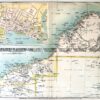
Antique Print Antique Map 236-002 Holland, Prussia and Belgium, published c.1910
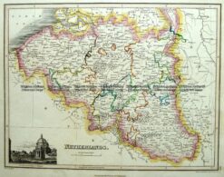
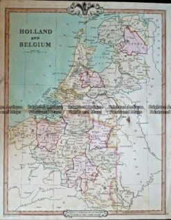
Antique Map 232-408 Holland & Belgium by Cruchley c.1834
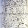
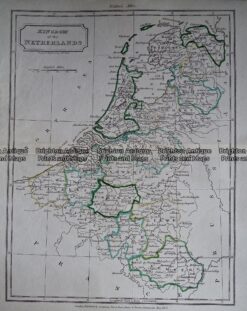
Antique Map – Kingdom of the Netherlands by Walker c.1805 Ref: 237-349