CURRENCY
Oost Zee sea chart by Jansson / van Loon c.1655
Copperplate engraving 54cm X 42cm Condition A
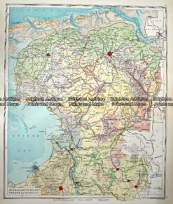
Antique Map 233-346 Holland – Groningen, Friesland, Drente en Overijsel by Wolters c.1929
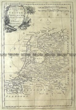
Antique Map 5-169 Holland or United Provinces by Gibson c.1771
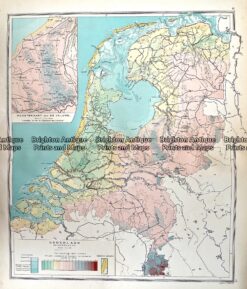
Antique Map 233-341 Holland – Hoogtekaart by Wolters c.1929
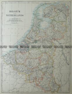
Antique Map 5-168 Belgium and The Netherlands by Johnston c.1886