CURRENCY
Street map of Paris by Letts &;c.1883
Chromolilthograph 58cm X 39cm Copndition A+
SOLD
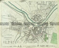
Antique Map 233-003 Dresden Street Map Germany by S.D.U.K. c.1844
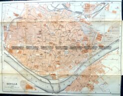
Antique Map 5-186 – Spain – Seville street map by Wagner & Dubes c.1911
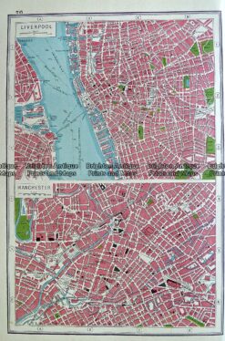
Antique map – Liverpool and Manchester by Harmsworth c.1920 Ref# 232-916
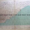
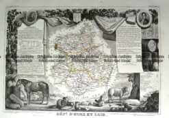
Antique Map 230-195 Loire Valley area south of Paris by Levasseur c.1854