CURRENCY
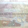
Street map of Paris by Letts &;c.1883
Chromolilthograph 58cm X 39cm Copndition A+
SOLD
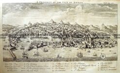
Antique Print Antique Map 232-066 Italy – Genoa bird’s eye view c.1744
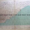
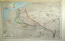
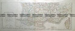
Antique map – Western Front c.1920. Ref: 232-706
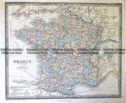
Antique Map 233-405 France in Departments by Wyld c.1840
Antique Map 232-170 Carte de la Republique Française by Chanlaire c.1780