CURRENCY
$140.00
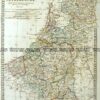
Street Map of Adelaide &;c.1896
Chromolithograph 28cm X 22cm Condition A+
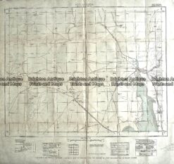
Antique Map 230-611 Port Augusta area Military Map c.1942
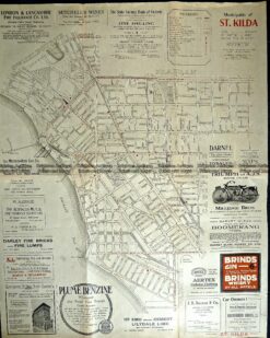
Antique Map 9-162 St Kilda street map c.1920
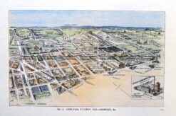
Antique Print Antique Map 29-491 Carlton, Fitzroy and Collingwood c.1906
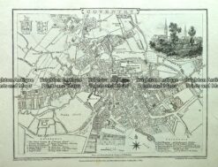
Antique map – Coventry Street Map by Verner, Hood & Sharpe c.1805 Ref#232-721