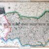
CURRENCY
$190.00
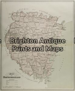
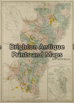
New South WalesNorthumberland
J Sands – circa 1886Chromolithograph42cm X 53cmCondition A+
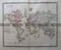
Antique Map 3-817 Pacific by Teasdale c. 1847
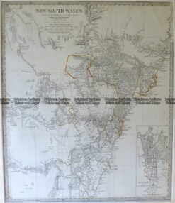
Antique Map 9-800 New South Wales by S.D.U.K. c.1844
Antique Map 9-067 – New South Wales Northumberland J Sands – circa 1886 Chromolithograph 42cm X 53cm Condition A+
Antique Map 9-073 – New South Wales J Bartholomew – circa 1848 Hand coloured steel engraving 27cm X 38cm Condition A+