CURRENCY
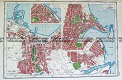
Melbourne Street Map c.1889 Sands & McDougall
Hand coloured lithograph 30cm X 34cm Condition A+
SOLD
Antique Map 230-230 Brunswick street map by MMBW c.1962
Antique Map 236-034 Geological map of Melbourne c.1860
Antique map – Cities in South Africa by Harmsworth c.1920 Ref# 232-903
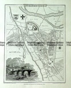
Antique map – Carlisle street map by Verner, Hood & Sharpe c.1805 Ref# 232-719