CURRENCY
Street Map of Adelaide &;c.1883
Lithograph 38cm X 53cm Condition A+
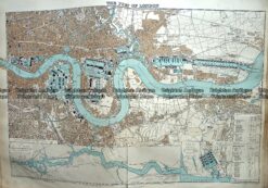
Antique Map 233-297 Port of London by Stanford c.1887
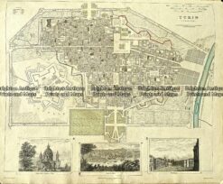
5-171 Turin street map by S.D.U.K. c.1844
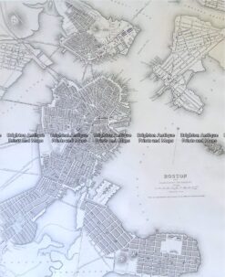
8-197 Boston street map by S.D.U.K c.1844
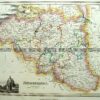
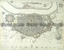
Antique Map 233-000 Antwerp Holland street map by S.D.U.K. c.1844