CURRENCY
Street Map of Adelaide &;c.1883
Lithograph 38cm X 53cm Condition A+
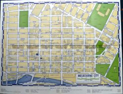
Antique Map 9-819 Street map of CBD Melbourne c.1970’s
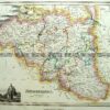
Antique Map 15-105 – Western Australia – North West John Sands – circa 1886 Chromolithograph 42cm X 52cm Condition A+
Antique Map 15-114 Western Australia – Perth and vicinity c.1886
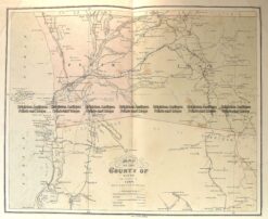
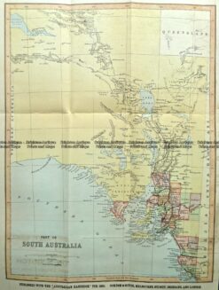
Antique Map 9-836 South Australia by Gordon & Gotch c.1892