CURRENCY
$85.00
Bairnsdale Map – issued for Military c.1942
Chromolithograph 54cm X 46cm Condition A+
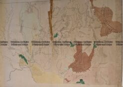
Antique Map 236-034 Geological map of Melbourne c.1860
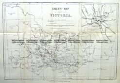
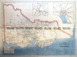
Antique Map 9-813 Victoria Railway Map c.1883
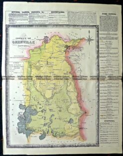
Antique Map 14-229 – County of Grenville Hiscock – circa 1874 Hand coloured lithograph 41cm X 49cm Condition A+
Antique Print Antique Map 3-330 Victoria Railway lines c.1886