
Skip to content
Brighton Antique Prints and MapsBrighton Antique Prints and Maps
  • CURRENCY

    WOOCS 2.1.5
  • VIEW CART
  • Catalogue
  • Home
  • Catalogue
    • Antique Maps
    • Antique Prints
    • Books & Gov’t Reports
    • Manuscript Documents
  • Recent Arrivals
  • About
  • FAQ
  • Register Interests
  • Contact Us
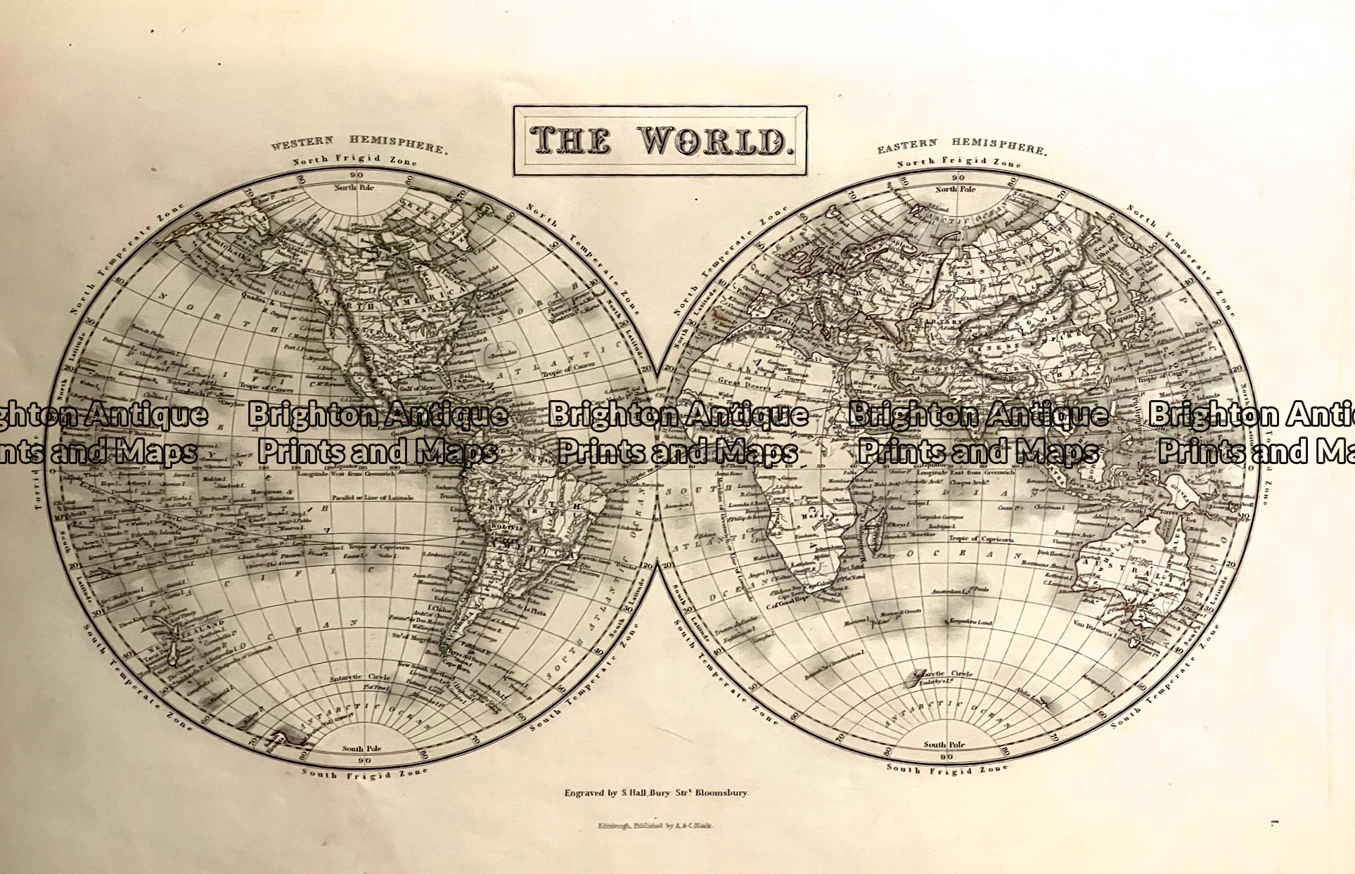
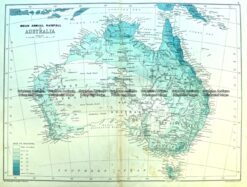
Antique map - World by Black c.1867  Ref: 888-154
Home / Antique Maps / Australia & Pacific / Australia - Continent
  • 2-149  Indiae Orientalis by Visscher  c.1680

Antique map – World by Black c.1867 Ref: 888-154

  • 2-149  Indiae Orientalis by Visscher  c.1680

$140.00

Category: Australia - Continent
  • 2-149  Indiae Orientalis by Visscher  c.1680
Product Categories
  • Antique Maps
    • World
    • Australia & Pacific
      • Australia - Continent
      • Victoria
      • Victorian Parish & Military Maps
      • Victorian Geological Maps
      • Melbourne
      • NSW
      • Tasmania
      • Queensland
      • WA, SA & NT
      • New Zealand
      • Pacific
    • Britain and Ireland
    • Europe
    • Asia
    • North America
    • South America
    • Africa
    • City Street Maps
    • Geological maps
    • Tallis
  • Antique Prints
  • Books & Gov't Reports
  • Manuscript Documents
  • Description
  • Reviews (0)

Double hemisphere map of the world c.1867
Australia identified as Australia and New Holland. Tasmania identified as Van Diemens Land. Alaska identified as Russian America.

Steel engraving
Engraved by Sidney Hall, Hughes and others.
Page approx 43cm X 31cm.
Reviews

There are no reviews yet.

Be the first to review “Antique map – World by Black c.1867 Ref: 888-154” Cancel reply

You must be logged in to post a review.

These may also be of interest

3-980  Australia by Bartholomew  c. 1890

Antique Map 3-980 Australia by Bartholomew c. 1890

$95.00
Antique Map 230-536  Carte de L'Oceanie by Malte Brun  c.1836

Antique Map 230-536 Carte de L’Oceanie by Malte Brun c.1836

$280.00
Antique map - Eastern Australia & New Zealand c.1913. Ref:  339-029

Antique map – Eastern Australia & New Zealand c.1913. Ref: 339-029

$120.00
Antique Map 3-086 - Tasmania J Tallis - circa 1851 26cm X 36cm Condition A+

Antique Map 3-086 – Tasmania J Tallis – circa 1851 26cm X 36cm Condition A+

$450.00
© 2026 BRIGHTON ANTIQUE PRINTS AND MAPS. ALL RIGHTS RESERVED | Website by Blaze Online Credit Card
Visa
PayPal
Stripe
MasterCard
Cash On Delivery
  • Home
  • Catalogue
    • Antique Maps
    • Antique Prints
    • Books & Gov’t Reports
    • Manuscript Documents
  • Recent Arrivals
  • About
  • FAQ
  • Register Interests
  • Contact Us
  • View Cart

Sending...