
Skip to content
Brighton Antique Prints and MapsBrighton Antique Prints and Maps
  • CURRENCY

    WOOCS 2.1.5
  • VIEW CART
  • Catalogue
  • Home
  • Catalogue
    • Antique Maps
    • Antique Prints
    • Books & Gov’t Reports
    • Manuscript Documents
  • Recent Arrivals
  • About
  • FAQ
  • Register Interests
  • Contact Us
Antique map - Australia c.1857. Ref: 339-016
Antique map - Australia c.1857. Ref: 339-016 - Image 2
Antique map - Australia c.1857. Ref: 339-016 - Image 3
Antique map - Australia c.1857. Ref: 339-016 - Image 4
Antique map - Australia c.1857. Ref: 339-016 - Image 5
Antique map - Australia c.1857. Ref: 339-016 - Image 6
Antique map - Australia c.1857. Ref: 339-016 - Image 7
Antique map - Australia c.1857. Ref: 339-016 - Image 8
Antique map - Australia c.1857. Ref: 339-016 - Image 9
Home / Antique Maps / Australia & Pacific / Australia - Continent
  • 2-149  Indiae Orientalis by Visscher  c.1680

Antique map – Australia c.1857. Ref: 339-016

  • 2-149  Indiae Orientalis by Visscher  c.1680

$2,600.00

Category: Australia - Continent
  • 2-149  Indiae Orientalis by Visscher  c.1680
Product Categories
  • Antique Maps
    • World
    • Australia & Pacific
      • Australia - Continent
      • Victoria
      • Victorian Parish & Military Maps
      • Victorian Geological Maps
      • Melbourne
      • NSW
      • Tasmania
      • Queensland
      • WA, SA & NT
      • New Zealand
      • Pacific
    • Britain and Ireland
    • Europe
    • Asia
    • North America
    • South America
    • Africa
    • City Street Maps
    • Geological maps
    • Tallis
  • Antique Prints
  • Books & Gov't Reports
  • Manuscript Documents
  • Description
  • Reviews (0)

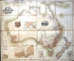
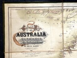
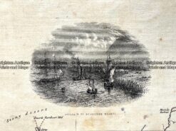
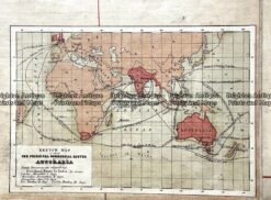
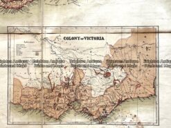
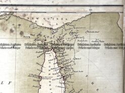
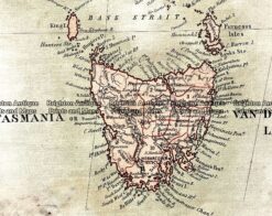
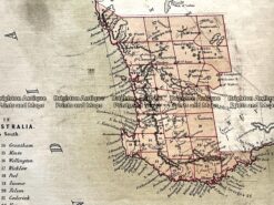
General Map of Australia and Tasmania c.1857

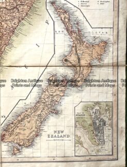
“General Map of Australia and Tasmania or Van Diemans Land shewing the British Colonies as divided into Counties”, published by Jas. J Blundell & Co Melbourne. This chromolithograph map was drawn by George Ernest Ravenstein, a German-English cartographer. The Royal Crest contains the motto “Treu und Fest”, which was adopted by a British regiment, the 11th Hussars, probably in honour of German born Prince Albert. Counties are named for each colony.

This large folding map of Australia and New Zealand is dissected in 16 parts and laid on linen. When folded it measures approx 30cm X 25cm and when unfolded it measures approx 120cm X 98cm.

The map is especially rare, because it was published by Blundell & Co in Melbourne rather than A&C Black.
Reviews

There are no reviews yet.

Be the first to review “Antique map – Australia c.1857. Ref: 339-016” Cancel reply

You must be logged in to post a review.

These may also be of interest

3-219 - Victoria - County of Rippon F E Hiscock - circa 1874 Hand coloured steel engraving 52cm X 39cm Condition A+

Antique Map 3-219 – Victoria – County of Rippon F E Hiscock – circa 1874 Hand coloured steel engraving 52cm X 39cm Condition A+

$490.00
3-222 - Victoria - County of Evelyn F E Hiscock - circa 1874 Hand coloured lithograph 51cm X 40cm Condition A+

Antique Map 3-222 – Victoria – County of Evelyn F E Hiscock – circa 1874 Hand coloured lithograph 51cm X 40cm Condition A+

$490.00
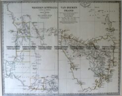
15-106 West Australia & Tasmania c.1844

Antique Map 15-106 West Australia & Tasmania c.1844

$220.00
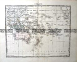
Antique Map - Oceanie Pacific by Lemercier c.1850  Ref: 237-367

Antique Map – Oceanie Pacific by Lemercier c.1850 Ref: 237-367

$220.00
© 2026 BRIGHTON ANTIQUE PRINTS AND MAPS. ALL RIGHTS RESERVED | Website by Blaze Online Credit Card
Visa
PayPal
Stripe
MasterCard
Cash On Delivery
  • Home
  • Catalogue
    • Antique Maps
    • Antique Prints
    • Books & Gov’t Reports
    • Manuscript Documents
  • Recent Arrivals
  • About
  • FAQ
  • Register Interests
  • Contact Us
  • View Cart

Sending...