
Skip to content
Brighton Antique Prints and MapsBrighton Antique Prints and Maps
  • CURRENCY

    WOOCS 2.1.5
  • VIEW CART
  • Catalogue
  • Home
  • Catalogue
    • Antique Maps
    • Antique Prints
    • Books & Gov’t Reports
    • Manuscript Documents
  • Recent Arrivals
  • About
  • FAQ
  • Register Interests
  • Contact Us
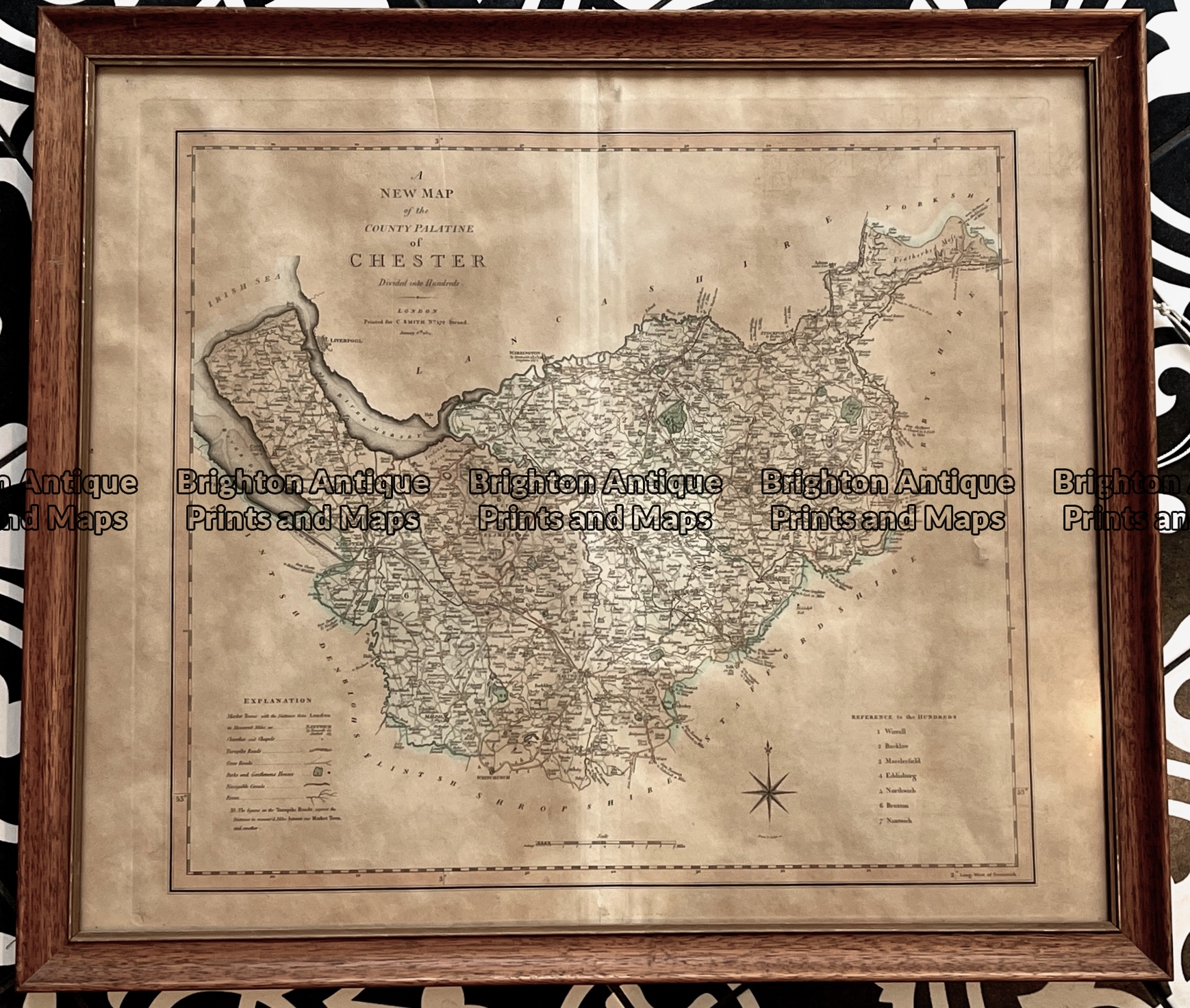
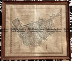
Antique map - Cheshire by C. Smith c.1804    Ref:  789-019
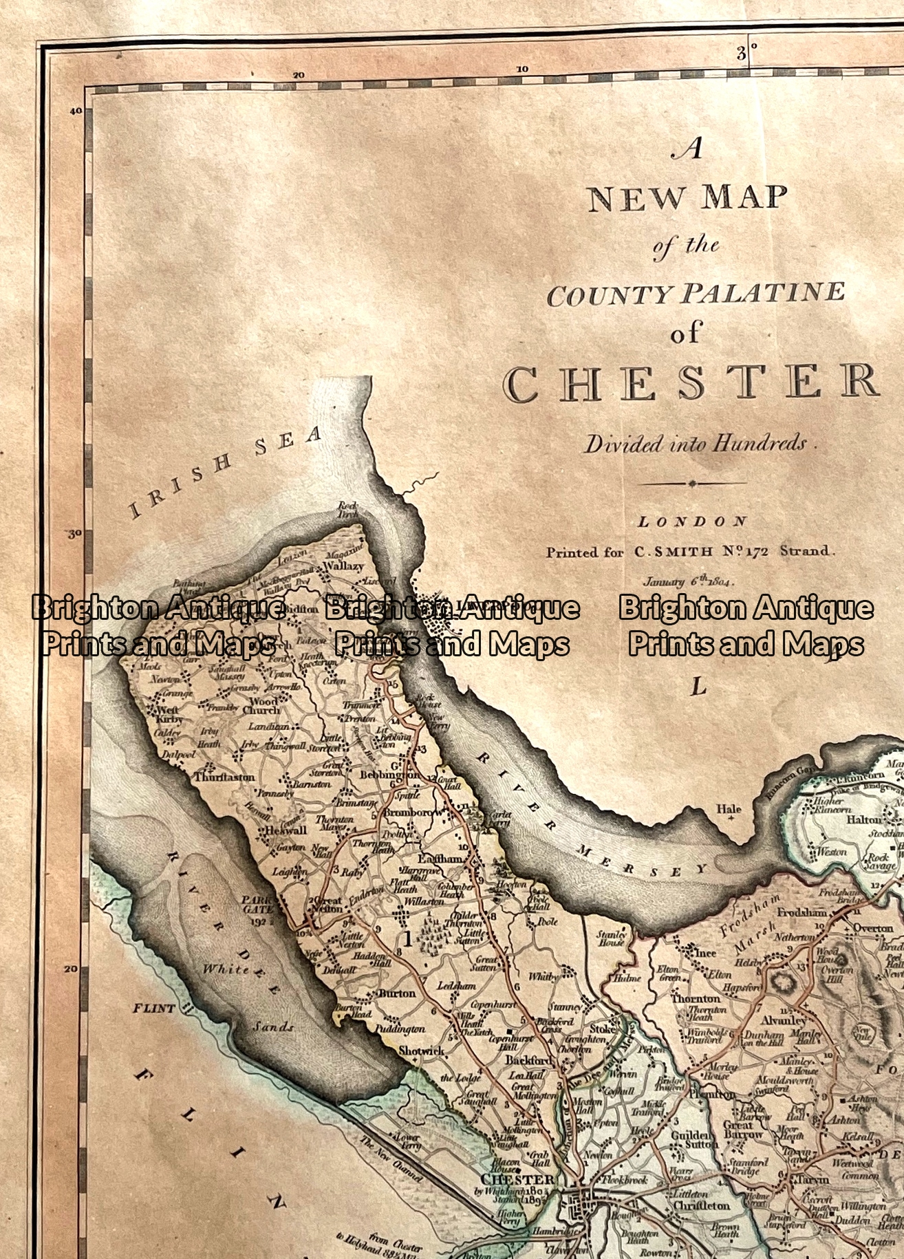
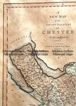
Antique map - Cheshire by C. Smith c.1804    Ref:  789-019 - Image 2
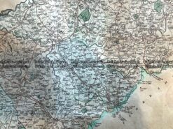
Antique map - Cheshire by C. Smith c.1804    Ref:  789-019 - Image 3
Antique map - Cheshire by C. Smith c.1804    Ref:  789-019
Antique map - Cheshire by C. Smith c.1804    Ref:  789-019 - Image 2
Antique map - Cheshire by C. Smith c.1804    Ref:  789-019 - Image 3
Home / Antique Maps / Britain and Ireland / England
  • 4-190  Lancashire England by I. Slater c.1847

Antique map – Cheshire by C. Smith c.1804 Ref: 789-019

  • 4-190  Lancashire England by I. Slater c.1847

$300.00

Category: England
  • 4-190  Lancashire England by I. Slater c.1847
Product Categories
  • Antique Maps
    • World
    • Australia & Pacific
    • Britain and Ireland
      • Britain
      • England
      • Wales
      • Scotland
      • Ireland
    • Europe
    • Asia
    • North America
    • South America
    • Africa
    • City Street Maps
    • Geological maps
    • Tallis
  • Antique Prints
  • Books & Gov't Reports
  • Manuscript Documents
  • Description
  • Reviews (0)

Chester by C.Smith c.1804.
Cheshire is a County in England immediately south of Lancashire and north of Staffordwshire and Shropshire. The largest city is Chester renowned for its many Tudor buildings. The Wirral is considered the birthplace of England after the bloody Battle of Brunanburh (Bromborough) in the year 937

Copperplate engraving with original hand colour. Outside dimensions of frame are approx 66cm X 57cm. Please note overall toning (browning) of paper.
Reviews

There are no reviews yet.

Be the first to review “Antique map – Cheshire by C. Smith c.1804 Ref: 789-019” Cancel reply

You must be logged in to post a review.

These may also be of interest

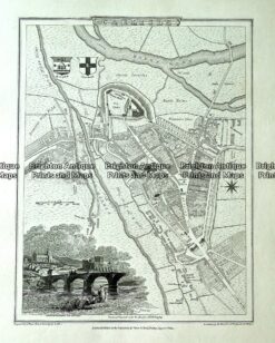
Antique map - Carlisle street map by Verner, Hood & Sharpe c.1805 Ref# 232-719

Antique map – Carlisle street map by Verner, Hood & Sharpe c.1805 Ref# 232-719

$130.00
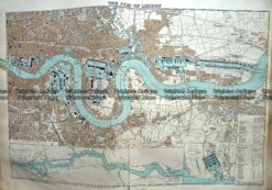
Antique Map 233-297  Port of London by Stanford  c.1887

Antique Map 233-297 Port of London by Stanford c.1887

$140.00
Antique Map 230-139  Britain - Britanniae Antiquae by D'Anville  c.1785

Antique Map 230-139 Britain – Britanniae Antiquae by D’Anville c.1785

$350.00
Antique Map - Britannia Antiqua c.1800  Ref: 237-330

Antique Map – Britannia Antiqua c.1800 Ref: 237-330

$95.00
© 2026 BRIGHTON ANTIQUE PRINTS AND MAPS. ALL RIGHTS RESERVED | Website by Blaze Online Credit Card
Visa
PayPal
Stripe
MasterCard
Cash On Delivery
  • Home
  • Catalogue
    • Antique Maps
    • Antique Prints
    • Books & Gov’t Reports
    • Manuscript Documents
  • Recent Arrivals
  • About
  • FAQ
  • Register Interests
  • Contact Us
  • View Cart

Sending...