Skip to content
Brighton Antique Prints and MapsBrighton Antique Prints and Maps
  • CURRENCY

    WOOCS 2.1.5
  • VIEW CART
  • Catalogue
  • Home
  • Catalogue
    • Antique Maps
    • Antique Prints
    • Books & Gov’t Reports
    • Manuscript Documents
  • Recent Arrivals
  • About
  • FAQ
  • Register Interests
  • Contact Us
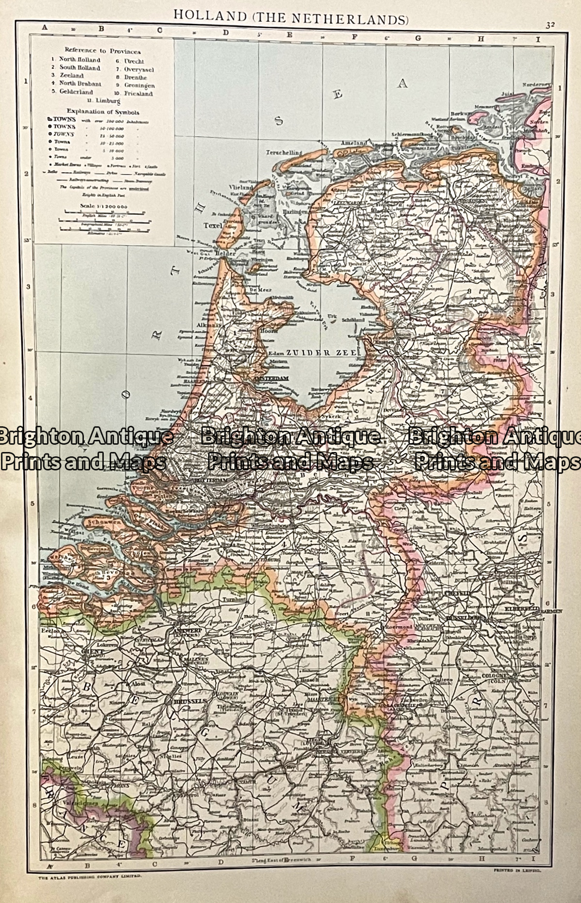
Antique map - Holland c.1893  Ref: 888-136
Home / Antique Maps / Europe / Holland & Belgium
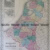
  • 5-166 Holland and Belgium by Colton  circa 1855

Antique map – Holland c.1893 Ref: 888-136

  • 5-166 Holland and Belgium by Colton  circa 1855

$50.00

Category: Holland & Belgium
  • 5-166 Holland and Belgium by Colton  circa 1855
Product Categories
  • Antique Maps
    • World
    • Australia & Pacific
    • Britain and Ireland
    • Europe
      • Europe - Continent
      • France
      • Germany
      • Italy
      • Greece
      • Holland & Belgium
      • Poland & Baltic
      • Balkans
      • Spain & Portugal
      • Scandinavia
      • Switzerland
      • Russia
      • Turkey
      • Other
    • Asia
    • North America
    • South America
    • Africa
    • City Street Maps
    • Geological maps
    • Tallis
  • Antique Prints
  • Books & Gov't Reports
  • Manuscript Documents
  • Description
  • Reviews (0)

Holland from Cassell’s Universal Atlas c.1893

Attached are a few of the many maps in Cassell’s Universal Atlas published in 1893. Please let me know which part of the world interests you, if the map is not included in this email.

The single-page map approx 36cm X 23cm plus margins.
Condition A+
Reviews

There are no reviews yet.

Be the first to review “Antique map – Holland c.1893 Ref: 888-136” Cancel reply

You must be logged in to post a review.

These may also be of interest

Antique Print Antique Map 236-002  Holland, Prussia and Belgium, published c.1910

Antique Print Antique Map 236-002 Holland, Prussia and Belgium, published c.1910

$75.00
Antique Map 233-341  Holland - Hoogtekaart by Wolters  c.1929

Antique Map 233-341 Holland – Hoogtekaart by Wolters c.1929

$80.00
Antique Map 232-408  Holland & Belgium by Cruchley  c.1834

Antique Map 232-408 Holland & Belgium by Cruchley c.1834

$150.00
5-051 - Holland by J Wyld - circa 1820

Antique Map 5-051 – Holland by J Wyld – circa 1820

$150.00
© 2026 BRIGHTON ANTIQUE PRINTS AND MAPS. ALL RIGHTS RESERVED | Website by Blaze Online Credit Card
Visa
PayPal
Stripe
MasterCard
Cash On Delivery
  • Home
  • Catalogue
    • Antique Maps
    • Antique Prints
    • Books & Gov’t Reports
    • Manuscript Documents
  • Recent Arrivals
  • About
  • FAQ
  • Register Interests
  • Contact Us
  • View Cart

Sending...