Skip to content
Brighton Antique Prints and MapsBrighton Antique Prints and Maps
  • CURRENCY

    WOOCS 2.1.5
  • VIEW CART
  • Catalogue
  • Home
  • Catalogue
    • Antique Maps
    • Antique Prints
    • Books & Gov’t Reports
    • Manuscript Documents
  • Recent Arrivals
  • About
  • FAQ
  • Register Interests
  • Contact Us
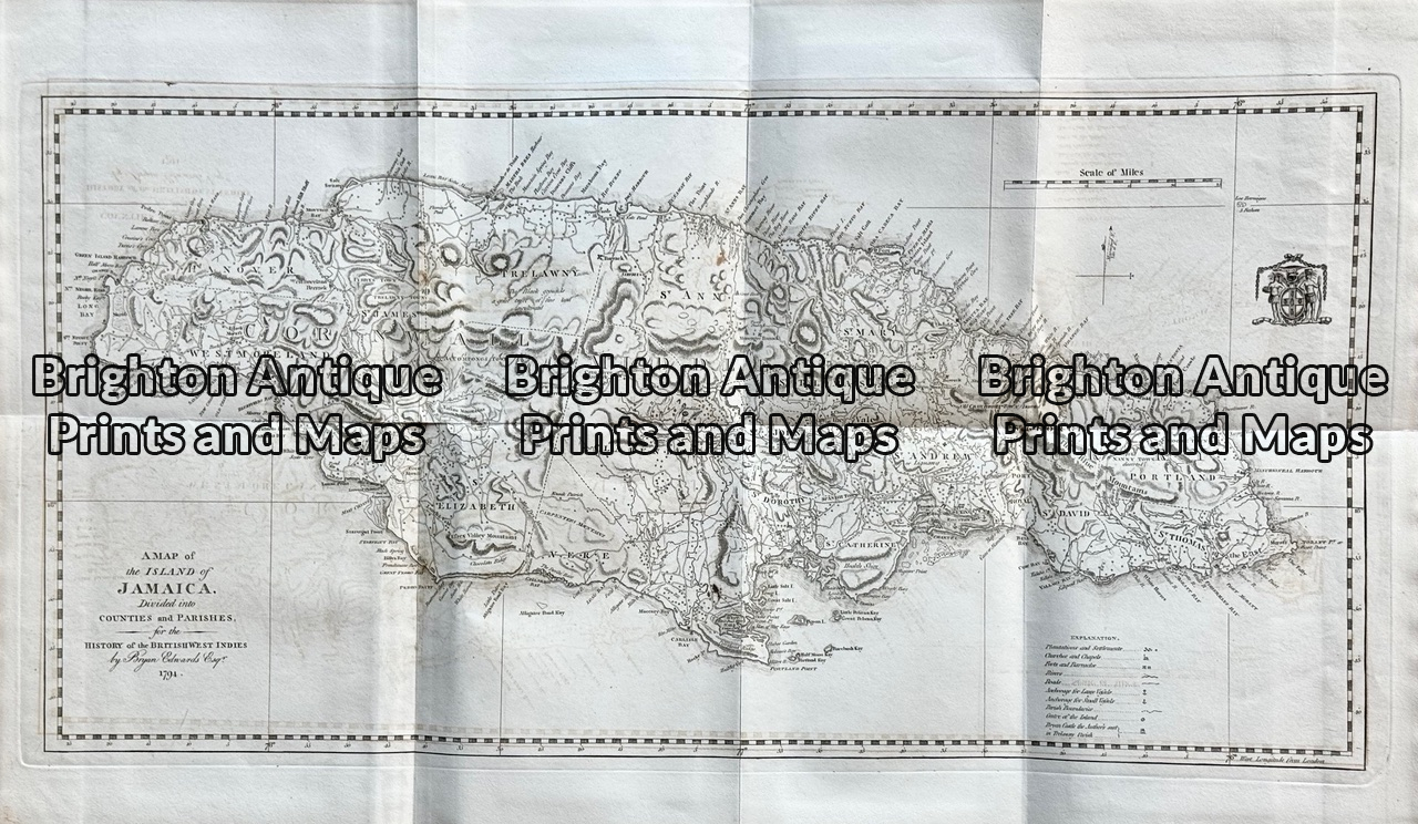
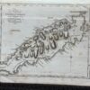
Antique map - Jamaica by Bryan Edwards c.1818  Ref: 888-015
Home / Antique Maps / North America / Other
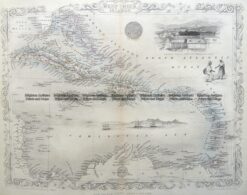
  • 8-002  West Indies by Johnston c.1864

Antique map – Jamaica by Bryan Edwards c.1818 Ref: 888-015

  • 8-002  West Indies by Johnston c.1864

$250.00

Category: Other
  • 8-002  West Indies by Johnston c.1864
Product Categories
  • Antique Maps
    • World
    • Australia & Pacific
    • Britain and Ireland
    • Europe
    • Asia
    • North America
      • North America - Continent
      • USA
      • Eastern USA
      • Central USA
      • Western USA
      • Canada
      • Mexico
      • Other
    • South America
    • Africa
    • City Street Maps
    • Geological maps
    • Tallis
  • Antique Prints
  • Books & Gov't Reports
  • Manuscript Documents
  • Description
  • Reviews (0)

Antique maps of Islands in the West Indies by Bryan Edwards

Long time map collectors will know how rare it is to find antique maps of individual islands in the West Indies.
Extracted from the 1818 edition of Edwards’ book “History of the British West Indies”.

Copperplate engravings on good quality paper.
Approx 61cm X 31cm
Condition A+
Reviews

There are no reviews yet.

Be the first to review “Antique map – Jamaica by Bryan Edwards c.1818 Ref: 888-015” Cancel reply

You must be logged in to post a review.

These may also be of interest

8-189 - West India Islands J Tallis - circa 1851 Steel engravings 33cm X 22cm Condition A+

Antique Map 8-189 – West India Islands J Tallis – circa 1851 Steel engravings 33cm X 22cm Condition A+

$250.00
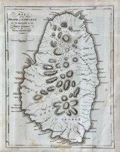
Antique map - St Vincent by Bryan Edwards c.1818  Ref:  888-017

Antique map – St Vincent by Bryan Edwards c.1818 Ref: 888-017

$180.00
8-184  West Indies & Central America by Johnston  c. 1886

Antique Map 8-184 West Indies & Central America by Johnston c. 1886

$140.00
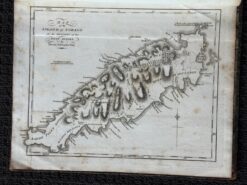
Antique map - Tobago by Bryan Edwards c.1818  Ref: 888-019

Antique map – Tobago by Bryan Edwards c.1818 Ref: 888-019

$180.00
© 2026 BRIGHTON ANTIQUE PRINTS AND MAPS. ALL RIGHTS RESERVED | Website by Blaze Online Credit Card
Visa
PayPal
Stripe
MasterCard
Cash On Delivery
  • Home
  • Catalogue
    • Antique Maps
    • Antique Prints
    • Books & Gov’t Reports
    • Manuscript Documents
  • Recent Arrivals
  • About
  • FAQ
  • Register Interests
  • Contact Us
  • View Cart

Sending...