
Skip to content
Brighton Antique Prints and MapsBrighton Antique Prints and Maps
  • CURRENCY

    WOOCS 2.1.5
  • VIEW CART
  • Catalogue
  • Home
  • Catalogue
    • Antique Maps
    • Antique Prints
    • Books & Gov’t Reports
    • Manuscript Documents
  • Recent Arrivals
  • About
  • FAQ
  • Register Interests
  • Contact Us
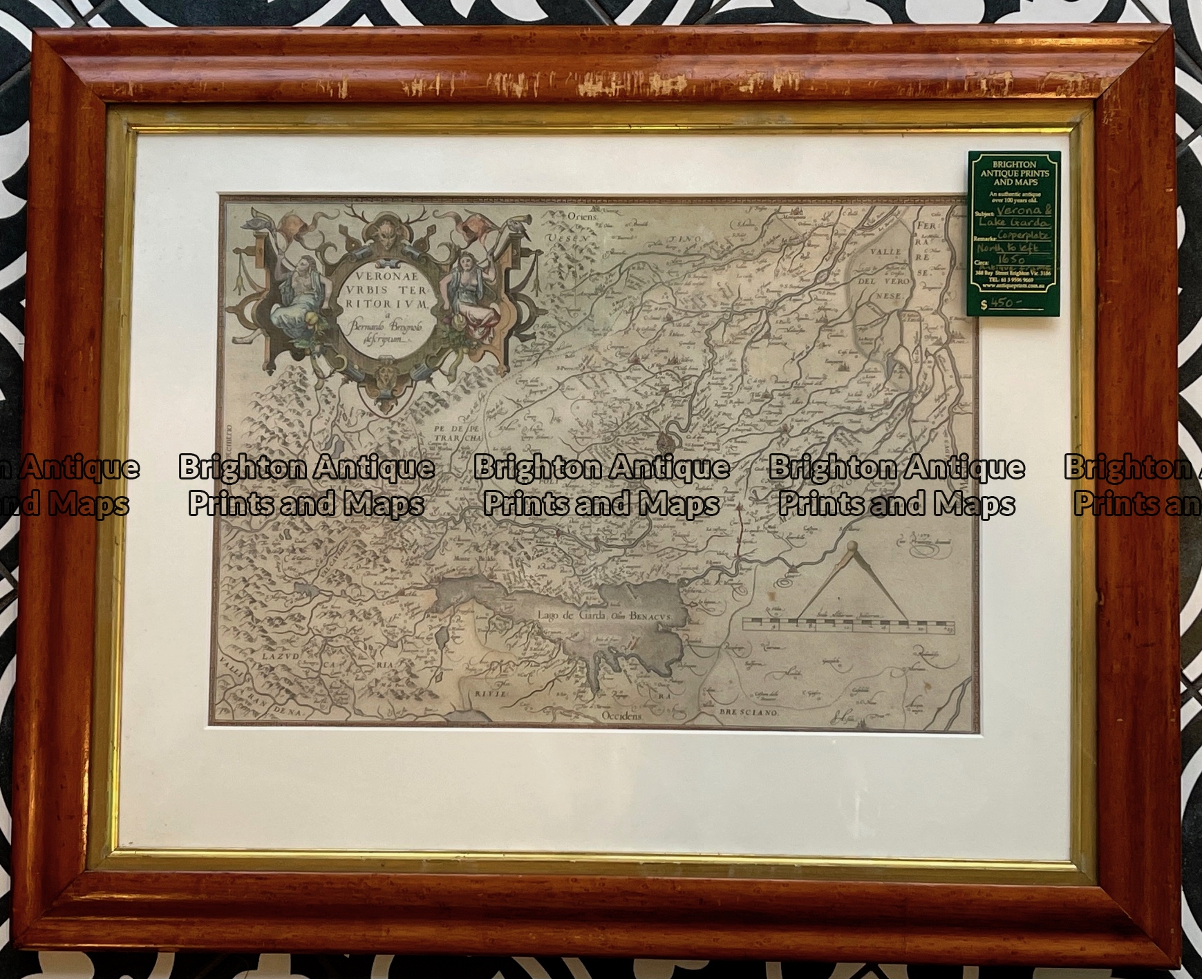
Antique map of Verona and vicinity by Blaeu c.1650.  Ref:  789-018
Antique map of Verona and vicinity by Blaeu c.1650.  Ref:  789-018 - Image 2
Antique map of Verona and vicinity by Blaeu c.1650.  Ref:  789-018 - Image 3
Antique map of Verona and vicinity by Blaeu c.1650.  Ref:  789-018
Antique map of Verona and vicinity by Blaeu c.1650.  Ref:  789-018 - Image 2
Antique map of Verona and vicinity by Blaeu c.1650.  Ref:  789-018 - Image 3
Home / Antique Maps / Europe / Italy
  • 5-160 - Rome region Jansson - circa 1670 Hand coloured copperplate engraving 47cm X 36cm Condition A+

Antique map of Verona and vicinity by Blaeu c.1650. Ref: 789-018

  • 5-160 - Rome region Jansson - circa 1670 Hand coloured copperplate engraving 47cm X 36cm Condition A+

$350.00

Category: Italy
  • 5-160 - Rome region Jansson - circa 1670 Hand coloured copperplate engraving 47cm X 36cm Condition A+
Product Categories
  • Antique Maps
    • World
    • Australia & Pacific
    • Britain and Ireland
    • Europe
      • Europe - Continent
      • France
      • Germany
      • Italy
      • Greece
      • Holland & Belgium
      • Poland & Baltic
      • Balkans
      • Spain & Portugal
      • Scandinavia
      • Switzerland
      • Russia
      • Turkey
      • Other
    • Asia
    • North America
    • South America
    • Africa
    • City Street Maps
    • Geological maps
    • Tallis
  • Antique Prints
  • Books & Gov't Reports
  • Manuscript Documents
  • Description
  • Reviews (0)

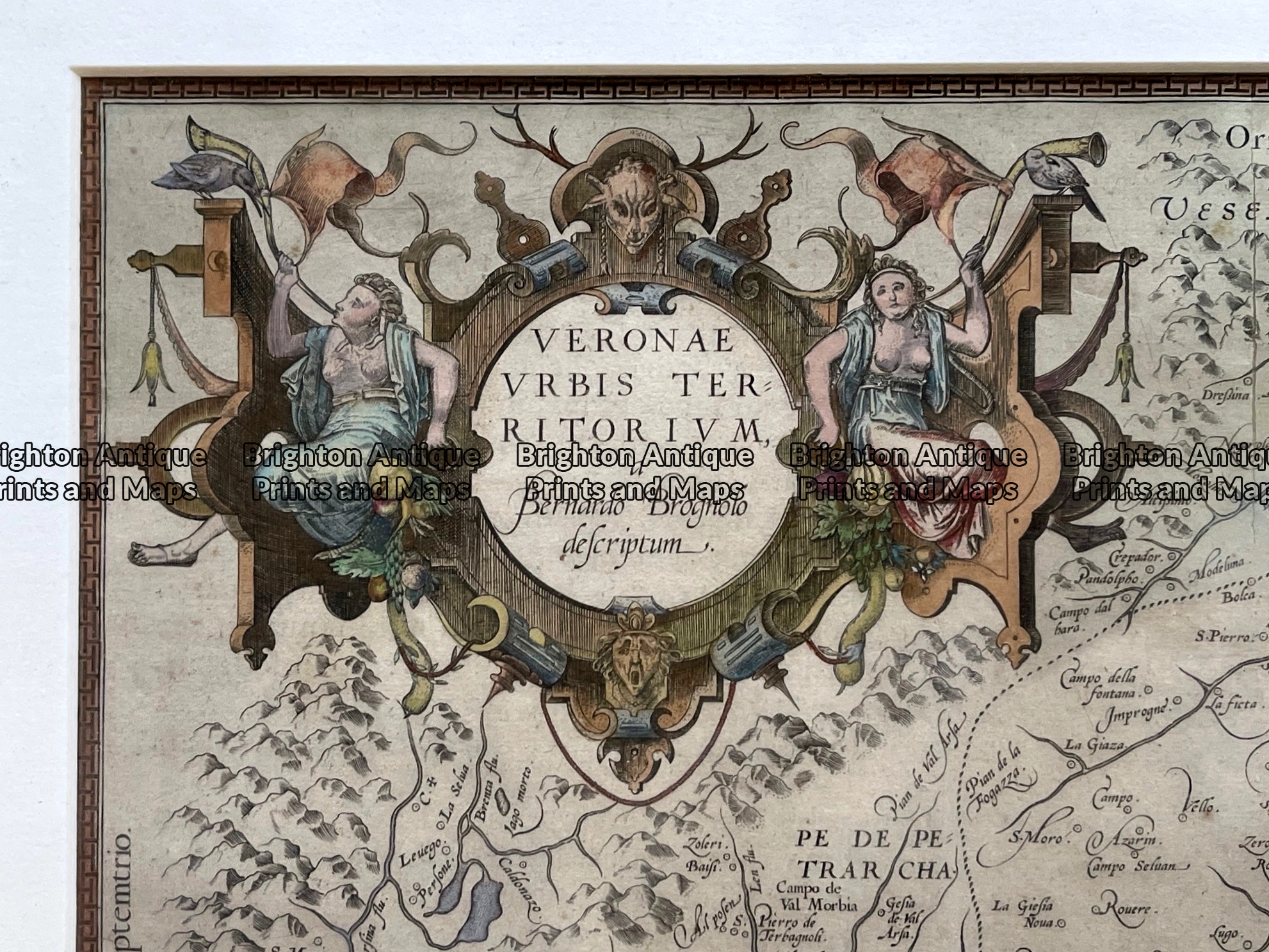
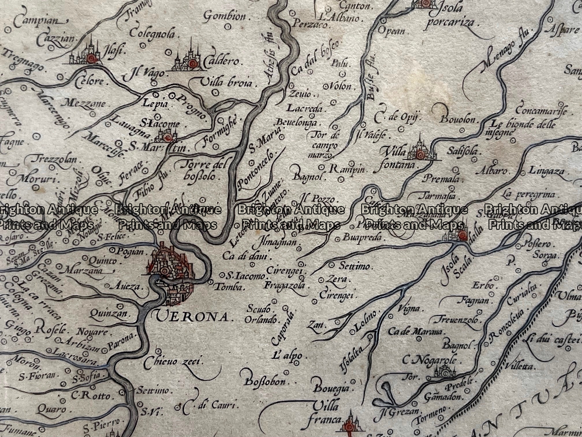
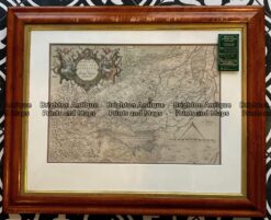
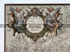
Veneto district in Northern Italy by Blaeu c.1650. Verona and Lake Garda are in the Veneto district of northern Italy between Milan and Venice. Verona is famous, in part, for being the setting of Shakespeare’s “Romeo and Juliet. Lake Garda (Lago di Garda) is Italy’s largest lake and a holiday destination. North is oriented to the left. Original coloured copperplate engraving with elaborate cartouche

The outside dimensions of the antique frame are approx 69cm X 54cm. The frame has some scratches at the top that would be less evident with a bit of TLC.
Reviews

There are no reviews yet.

Be the first to review “Antique map of Verona and vicinity by Blaeu c.1650. Ref: 789-018” Cancel reply

You must be logged in to post a review.

These may also be of interest

Antique map - Italy by Bartholomew c.1898. Ref:  339-015

Antique map – Italy by Bartholomew c.1898. Ref: 339-015

$80.00
Antique Map 230-526  Italy and Dalmatia by Weimar  c.1818

Antique Map 230-526 Italy and Dalmatia by Weimar c.1818

$250.00
Antique Map 233-008   Naples Street Maps Italy by S.D.U.K.  c.1844

Antique Map 233-008 Naples Street Maps Italy by S.D.U.K. c.1844

$140.00
5-199  Italy by S.D.U.K. c.1844

Antique Map 5-199 Italy by S.D.U.K. c.1844

$150.00
© 2026 BRIGHTON ANTIQUE PRINTS AND MAPS. ALL RIGHTS RESERVED | Website by Blaze Online Credit Card
Visa
PayPal
Stripe
MasterCard
Cash On Delivery
  • Home
  • Catalogue
    • Antique Maps
    • Antique Prints
    • Books & Gov’t Reports
    • Manuscript Documents
  • Recent Arrivals
  • About
  • FAQ
  • Register Interests
  • Contact Us
  • View Cart

Sending...