Skip to content
Brighton Antique Prints and MapsBrighton Antique Prints and Maps
  • CURRENCY

    WOOCS 2.1.5
  • VIEW CART
  • Catalogue
  • Home
  • Catalogue
    • Antique Maps
    • Antique Prints
    • Books & Gov’t Reports
    • Manuscript Documents
  • Recent Arrivals
  • About
  • FAQ
  • Register Interests
  • Contact Us
Antique map - Southern Hemisphere Ref No. 889-000
Home / Antique Maps / World / World and Hemispheres
  • 16-253 - Description of the Earth - Dunn

Antique map – Southern Hemisphere Ref No. 889-000

  • 16-253 - Description of the Earth - Dunn

Category: World and Hemispheres
  • 16-253 - Description of the Earth - Dunn
Product Categories
  • Antique Maps
    • World
      • World and Hemispheres
      • Antarctica & Arctic
      • Thematic
      • Celestial
    • Australia & Pacific
    • Britain and Ireland
    • Europe
    • Asia
    • North America
    • South America
    • Africa
    • City Street Maps
    • Geological maps
    • Tallis
  • Antique Prints
  • Books & Gov't Reports
  • Manuscript Documents
  • Description
  • Reviews (0)

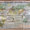
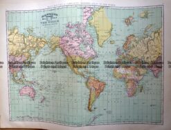
Southern Hemisphere c.1778

Carte de L’Hemisphere Austral Montrant les Routes des Navigateurs les Plus Célèbres par le Capitaine Jacques Cook.
from the first French edition of Cook’s second voyage, published in 1778. Hand coloured copperplate engraving by Robert Benard measuring approximately 53cm X 53cm plus margins.
Reviews

There are no reviews yet.

Be the first to review “Antique map – Southern Hemisphere Ref No. 889-000” Cancel reply

You must be logged in to post a review.

These may also be of interest

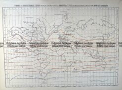
Antique Map 232-575  World - Isothermal Lines by Black  c.1862

Antique Map 232-575 World – Isothermal Lines by Black c.1862

$80.00
Antique Map 233-017  World on Mercator projection by Rand McNally  c.1894

Antique Map 233-017 World on Mercator projection by Rand McNally c.1894

$230.00
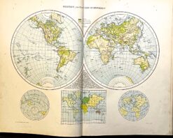
Antique map - Double-hemisphere world map c.1893  Ref: 888-132

Antique map – Double-hemisphere world map c.1893 Ref: 888-132

$60.00
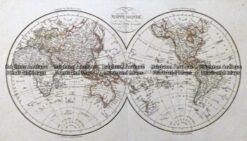
Antique Map - Mappe Monde by Lapie c.1831  Ref: 237-154

Antique Map – Mappe Monde by Lapie c.1831 Ref: 237-154

$475.00
© 2026 BRIGHTON ANTIQUE PRINTS AND MAPS. ALL RIGHTS RESERVED | Website by Blaze Online Credit Card
Visa
PayPal
Stripe
MasterCard
Cash On Delivery
  • Home
  • Catalogue
    • Antique Maps
    • Antique Prints
    • Books & Gov’t Reports
    • Manuscript Documents
  • Recent Arrivals
  • About
  • FAQ
  • Register Interests
  • Contact Us
  • View Cart

Sending...