
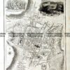
City street map of St Alban’s England engraved by John Roper c.1805
Published with “Beauties of England and Wales
Engraving
24cm X 18cm
Condition A+

$130.00
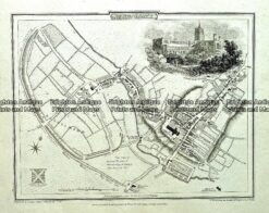
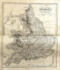
City street map of St Alban’s England engraved by John Roper c.1805
Published with “Beauties of England and Wales
Engraving
24cm X 18cm
Condition A+
You must be logged in to post a comment.

Reviews
There are no reviews yet.