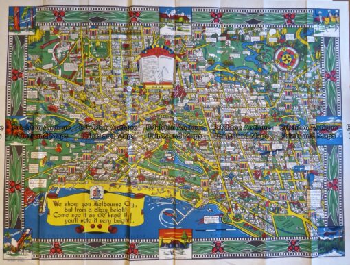
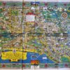
Wonder Map of Melbourne c.1934
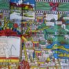
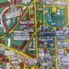
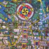
An aerial bird’s eye view of Melbourne with countless humorous illustrated reference points. Designed by O.J. Dale and printed by Troedel & Cooper in Melbourne to celebrate Melbourne’s centenary. The circumference of the map has a decorative border of gum nuts and gum leaves. The cartouche reads “Centenary Year. Melbourne has a population exceeding 1,000,000 and covers an area approximately 10 miles square”. The size of image is about 95cm wide and 71cm high. Still present is the original cardboard flap in which the map was folded. A tear along part of a horizontal fold has been professionally repaired and is not evident.
This item is a rare map depicting the progress made by Melbourne in its first 100 years.



Reviews
There are no reviews yet.