CURRENCY
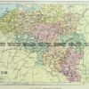
Victoria – Grampians District
Department of Lands & Survey Photo-lithography 43cm X 67cm Condition A+
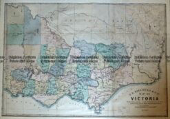
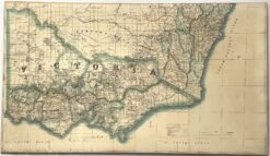
Antique Map – Map of Victoria by Hiscock c.1874 Ref No. 238-003
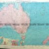
Antique map – Military and Dept of Lands & Survey maps Ref: 235-005
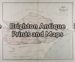
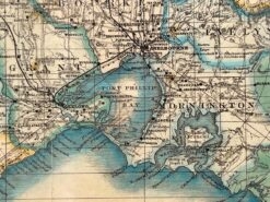
Antique Map 14-205 – Victoria – Tanjil J Sands – circa 1886 Chromolithograph 53cm X 43cm Condition A+
Antique map – Victoria by Proeschel c.1863. Ref: 339-038