CURRENCY
Victoria or Port Phillip
John Tallis – circa 1851 Steel engraving 33cm X 26cm Condition A+
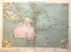
Antique map – Australia & New Zealand with shipping routes c.1913. Ref: 339-028
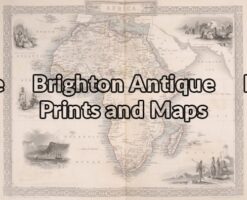
Antique Map 40-07 – Africa Tallis – circa 1851 Steel engraving 32cm X 24cm Condition A+
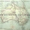
Antique Map 3-101 – Northern Territory Vandermaelen – circa 1827 Hand coloured steel engraving 56cm X 47cm Condition A+
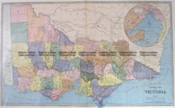
Antique Map 3-203 – Victoria Picturesque Atlas circ 1886 Chromolithograph 61cm X 37cm Condition A+