CURRENCY
Victoria or Port Phillip
John Tallis – circa 1851 Steel engraving 33cm X 26cm Condition A+
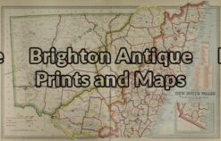
Antique Map 3-064 – New South Wales Picturesque Atlas – circa 1886 Chromolithograph 61cm X 37cm Condition A+
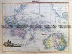
Antique Map 230-531 Oceanie by Migeon c.1878
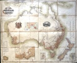
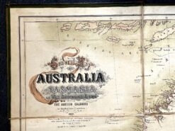
Antique map – Australia c.1857. Ref: 339-016
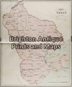
Antique Map 3-215 – Victoria – County of Grant John Sands – circa 1886 Chromolithograph 43cm X 53cm Condition A+