CURRENCY
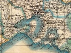
Victoria – Navigation Chart Port Phillip to Gabo Island
Davies & Co – circa 1945 Lithograph 99cm X 67cm Condition A+
&;
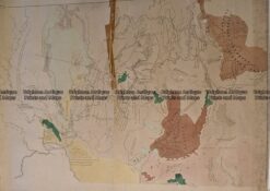
Antique Map 236-034 Geological map of Melbourne c.1860
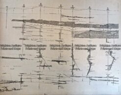
Antique Print Antique Map 233-232 Gold Mines in Victoria – Cross-section detail c.1880’s
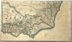
Antique map – Victoria by Proeschel c.1863. Ref: 339-038
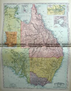
Antique Map 233-225 Australia – Victoria, NSW, Queensland by Rand McNally c.1894