CURRENCY
Gold Fields – Clunes Mount Greenock c.1883
Hand coloured lithograph 52cm X 62cm Condition A
SOLD
Antique map – Western Victoria c.1930 Ref: 889-023
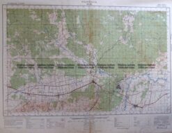
Antique Map 3-303 Victoria – Moe area c.1940
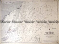
Antique map – Navigation Chart of West Channel Port Phillip c.1903 Ref: 415-027
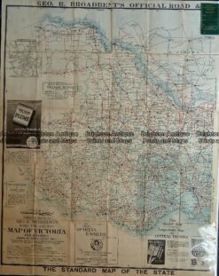
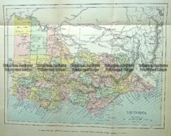
Antique Map 232-090 Victoria by Gordon & Gotch c.1889