CURRENCY
Gold Field – Creswick c. 1880
Hand coloured lithograph 48cm X 60cm Condition A
SOLD
&;
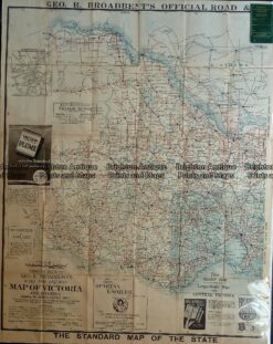
Antique map – Western Victoria c.1930 Ref: 889-023
Antique Map 3-304 Victoria – Ringwood area c.1935
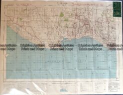
Antique map – Port Fairy area military map c.1942 Ref: 889-021
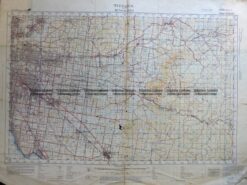
Antique map – Military and Dept of Lands & Survey maps Ref: 235-005