CURRENCY
Western Australia
E Stanford – circa 1894 Chromolithograph 51cm X 63cm Condition A+
SOLD
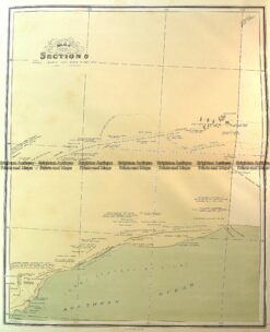
Antique Map 15-117 Western Australia – Great Australian Bight c.1886
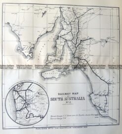
Antique Map 9-826 South Australia Railway Map c.1896
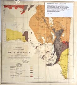
Antique map – Geological map of South Australia c.1883. Ref: 339-006
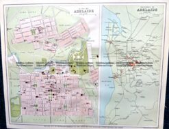
Antique Map 9-827 Adelaide Street Map c.1896