CURRENCY
Port Phillip – Yachting map for 1956 Olympic Games
36cm X 53cm Condition A+
There are no reviews yet.
You must be logged in to post a comment.
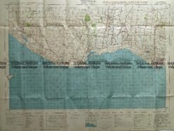
Antique Map 232-266 Port Fairy military map c.1942
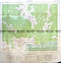
Antique Map 9-833 Bairnsdale -Military Map c.1942
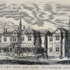
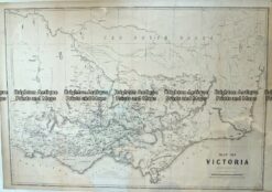
Antique Map – Victoria c.1865 Ref No. 238-001
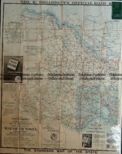
Antique map – Western Victoria c.1930 Ref: 889-023


Reviews
There are no reviews yet.