CURRENCY
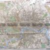
Tourist map of Mount Kosciusko District c.1970
76cm x 51cm Condition A+
There are no reviews yet.
You must be logged in to post a comment.
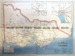
Antique Print Antique Map 3-330 Victoria Railway lines c.1886
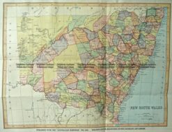
Antique Map 9-837 New South Wales by Gordon & Gotch c.1880
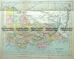
Antique Map 232-090 Victoria by Gordon & Gotch c.1889
Antique Map 9-070 – New South Wales Picturesque Atlas – circa 1886 Chromolithograph 62cm X 38cm Condition A+


Reviews
There are no reviews yet.