CURRENCY
$160.00
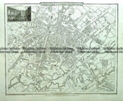
London and vicinity Street Map by S.D.U.K. c.1844
Steel engraving 37cm X 28cm Condition A+
There are no reviews yet.
You must be logged in to post a comment.
Antique map – Manchester & Salford Street Map by Verner, Hood & Sharpe c.1805 Ref#232-744
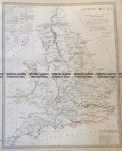
Antique Map 4-167 Ancient England and Wales c.1844
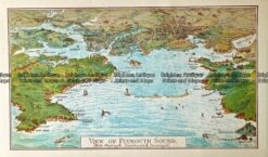
Antique Map 232 – Plymouth Harbour by Gordon & Gotch c.1889
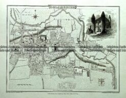
Antique map – Colchester Street Map by Verner, Hood & Sharpe c.1805 Ref#232-740


Reviews
There are no reviews yet.