CURRENCY
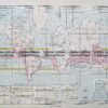
Mornington Peninsula Navigation Chart corrected to 1960’s
Lithograph 120cm X 90cm Condition A
Framed
There are no reviews yet.
You must be logged in to post a comment.
Antique Map 3-203 – Victoria Picturesque Atlas circ 1886 Chromolithograph 61cm X 37cm Condition A+
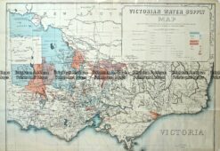
Antique Map – Victorian Water Supply c.1890 Ref No. 238-002
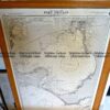
Antique map – Military and Dept of Lands & Survey maps Ref: 235-005
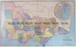
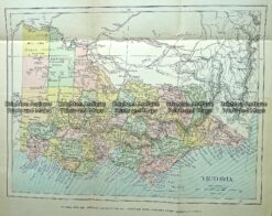
Antique Map 232-090 Victoria by Gordon & Gotch c.1889


Reviews
There are no reviews yet.