CURRENCY
Southern Hemisphere by Thomson &;c.1816
Hand coloured engraving 50 cm circular Condition A
Antique Map 16-227 – World – Eastern & Western Hemispheres Pair of maps J Wyld – circa 1840 Hand coloured steel engraving 23cm X23cm Condition A+
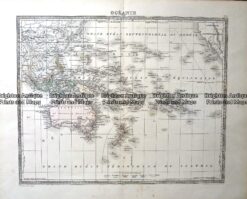
Antique Map – Oceanie Pacific by Lemercier c.1850 Ref: 237-367
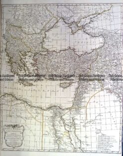
Antique Map 230-130 Orbis Romani by D’Anville c.1785
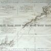
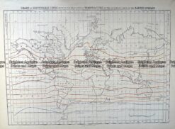
Antique Map 232-575 World – Isothermal Lines by Black c.1862