CURRENCY
Southern Hemisphere by Thomson &;c.1816
Hand coloured engraving 50 cm circular Condition A
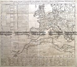
Antique Map 232-174 Europe in Roman times by Chatelain c.1719
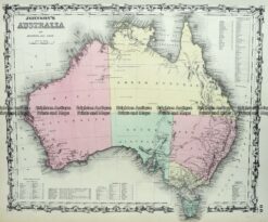
Antique Map 3-515 Australia by Johnson c.1855
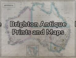
Antique Map 3-011 – Australia J Bartholomew – circa 1854 Hand coloured steel engraving 55cm X 42cm Condition A+
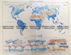
Vintage map – World Climatology by Bartholomew c.1958 Ref# 232-911