CURRENCY
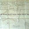
World by Emanuel Bowen
Copperplate engraving 54cm X 29cm Condition A+
&;
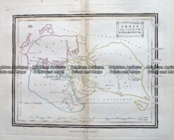
Antique Map – Orbis Secundum Strabonem c.1800 Ref: 237-336
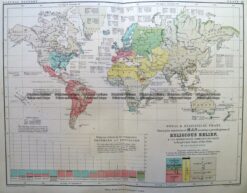
Antique Map 3-389 World – Religious Belief c.1851
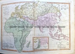
Antique Map 2-163 World in ancient times by Wilkinson c.1830
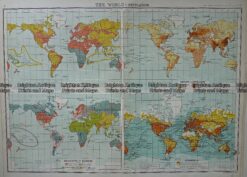
Antique Map 232-574 World – Population – Demographics by Bartholomew c.1900