CURRENCY
$59.00
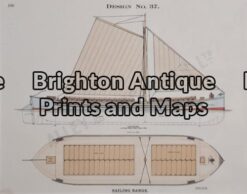
Maritime achitecture
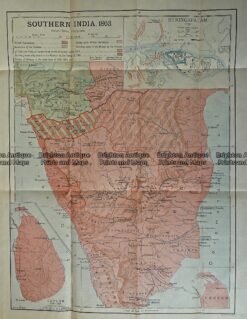
Antique Print Antique Map 236-001 India (Southern India) in 1803, published in 1910
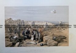
Antique Print – Russian Rifle Pit by Simpson c.1855 Ref: 237-058
Antique Print 33-017 – Maritime achitecture Alley & McLellan – circa 1914 Chromolithograph 26cm X 20cm Condition A+
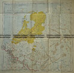
Antique Print Antique Map 236-002 Holland, Prussia and Belgium, published c.1910