CURRENCY
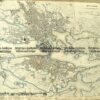
Edinburgh and vicinity by S.D.U.K. c.1844
Steel engraving 38cm X 31cm Condition A+
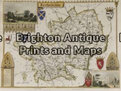
Antique Map 4-147 – England – Hertfordshire Moule – circa 1840 Hand coloured steel engraving 25cm X 19cm
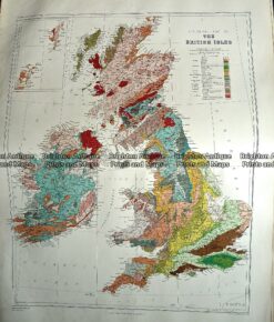
Antique Map 233-288 Britain – Geological by Stanford c.1887
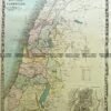
Antique Map 5-152 – Scotland – Highlands J & C Walker – circa 1835 Steel engraving 39cm X 32cm Condition A+
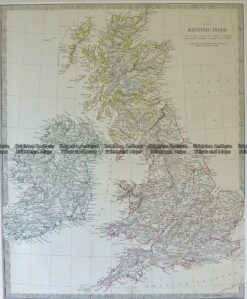
Antique Map 4-181 Britain by S.D.U.K. c.1844