CURRENCY
$140.00
England – Roman by Wilkinson c.1830
Hand coloured steel engraving 22cm X 28cm Condition A+
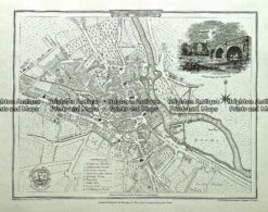
Antique map – Derby Street Map by Verner, Hood & Sharpe c.1805 Ref#232-739
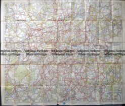
Antique map – RAC map of London c.1930’s
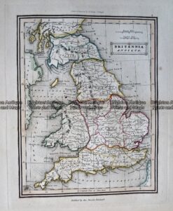
Antique Map – Britannia Antiqua c.1800 Ref: 237-330
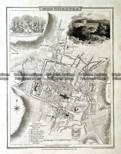
Antique map – Winchester Street Map by Verner, Hood & Sharpe c.1805 Ref#232-749