CURRENCY
$240.00
England – Kent
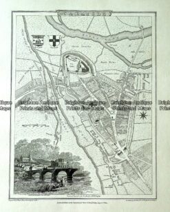
Antique map – Carlisle street map by Verner, Hood & Sharpe c.1805 Ref# 232-719
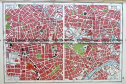
Antique map – English street maps by Harmsworth c.1920 Ref# 232-906
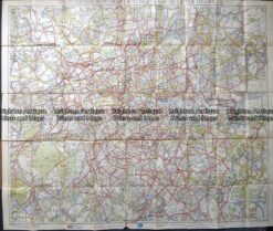
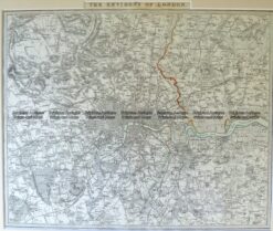
Antique map – RAC map of London c.1930’s
Antique Map 4-177 London and vicinity by S.D.U.K. c.1844