


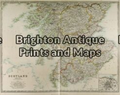
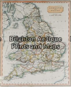
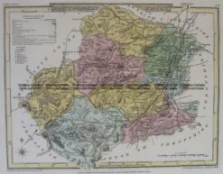
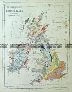
Maps by A. Lesage (pseudo) c.1829 Atlas historique, généalogique, chronologique et géographique
Maps extracted from Atlas historique, genealogique, chronologique et geographique de A. Lesage. [Paris : Chez Dolloye; c.1829] Folio, The Comte de Las Cases first published his atlas in 1802 under the pseudonym A. Lesage. It proved to be very popular and was subsequently issued in several editions.
Copperplate engravings with original hand colouring on pages measuring approx 69cm X 43cm. Maps are accompanied by text relevant to the region. Maps will lie flat once removed from the atlas.
Reviews
There are no reviews yet.