Skip to content
Brighton Antique Prints and MapsBrighton Antique Prints and Maps
  • CURRENCY

    WOOCS 2.1.5
  • VIEW CART
  • Catalogue
  • Home
  • Catalogue
    • Antique Maps
    • Antique Prints
    • Books & Gov’t Reports
    • Manuscript Documents
  • Recent Arrivals
  • About
  • FAQ
  • Register Interests
  • Contact Us
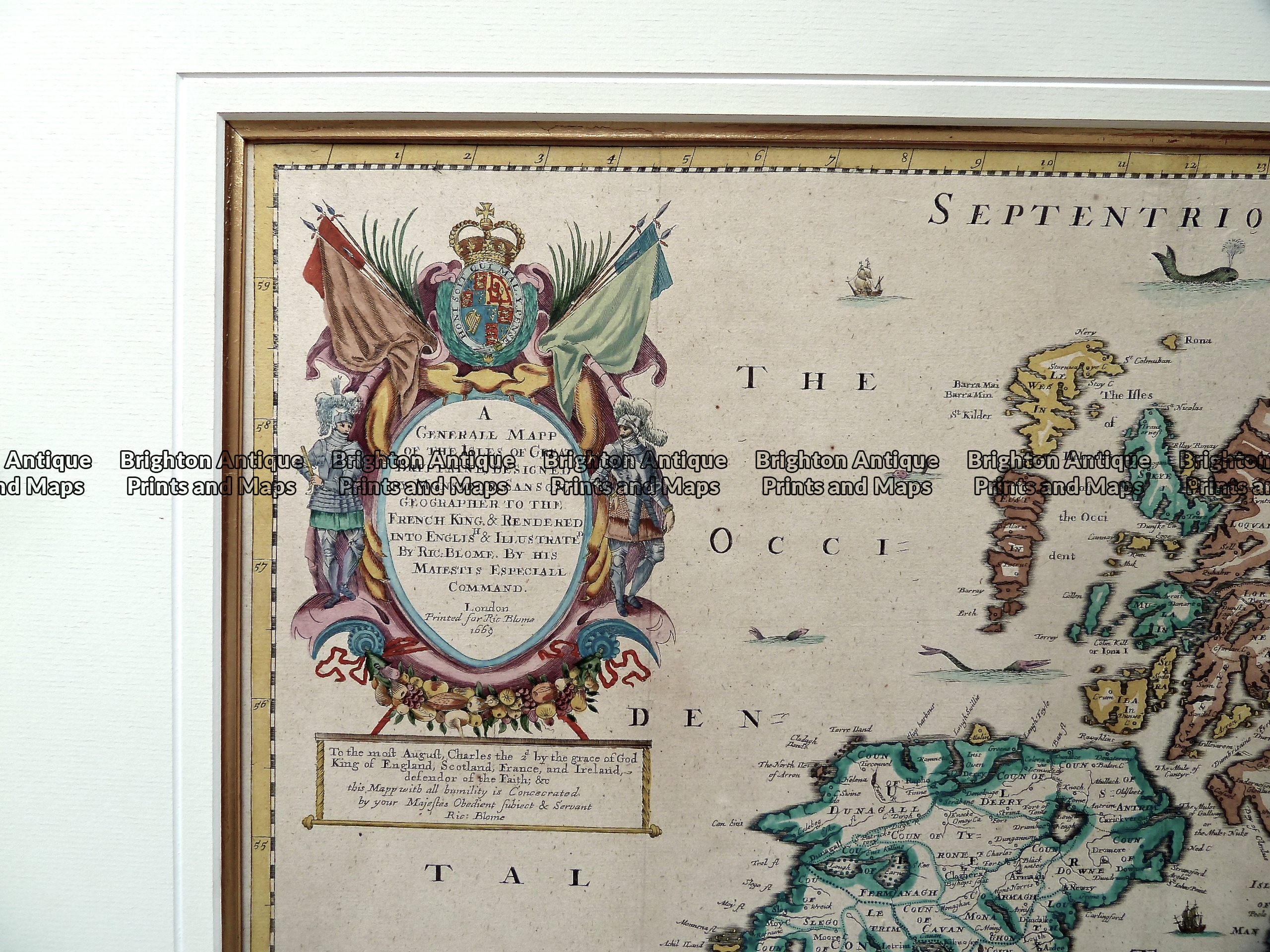
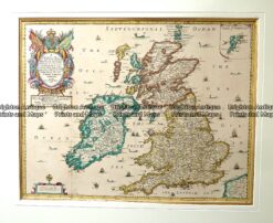
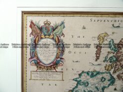
Antique map - Britain by Sanson  c.1669  Ref:  889-005
Antique map - Britain by Sanson  c.1669  Ref:  889-005 - Image 2
Antique map - Britain by Sanson  c.1669  Ref:  889-005
Antique map - Britain by Sanson  c.1669  Ref:  889-005 - Image 2
Home / Antique Maps / Britain and Ireland / Britain
  • 4-032 - Britannicae Insule de Vaugondy - circa 1757 Copperplate engraving 53cm X49cm Condition A

Antique map – Britain by Sanson c.1669 Ref: 889-005

  • 4-032 - Britannicae Insule de Vaugondy - circa 1757 Copperplate engraving 53cm X49cm Condition A

$990.00

Category: Britain
  • 4-032 - Britannicae Insule de Vaugondy - circa 1757 Copperplate engraving 53cm X49cm Condition A
Product Categories
  • Antique Maps
    • World
    • Australia & Pacific
    • Britain and Ireland
      • Britain
      • England
      • Wales
      • Scotland
      • Ireland
    • Europe
    • Asia
    • North America
    • South America
    • Africa
    • City Street Maps
    • Geological maps
    • Tallis
  • Antique Prints
  • Books & Gov't Reports
  • Manuscript Documents
  • Description
  • Reviews (0)

Map of the Britain by Sanson c.1669

General Map of the United Kingdom by Nicolas Sanson, Geographer to the King of France Translated into English and illustrated by Richard Blome in London c.1669. Hand coloured copperplate engraving. Elaborate cartouche in top left corner. The plate size is approximately 51cm X 40cm. Total size including frame and mount is approximately 75cm X 65cm.
Reviews

There are no reviews yet.

Be the first to review “Antique map – Britain by Sanson c.1669 Ref: 889-005” Cancel reply

You must be logged in to post a review.

These may also be of interest

4-147 - England - Hertfordshire Moule - circa 1840 Hand coloured steel engraving 25cm X 19cm

Antique Map 4-147 – England – Hertfordshire Moule – circa 1840 Hand coloured steel engraving 25cm X 19cm

$240.00
PlaceholderAlternative view of Antique map - Britain by LeSage c.1829.  Ref:  789-025

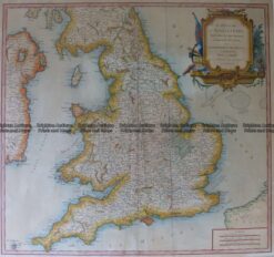
Antique map – Britain by LeSage c.1829. Ref: 789-025

$215.00
4-159 - England - Isle of Thanet Moule - circa 1840 Hand coloured steel engraving 26cm X 19cm Condition A+

Antique Map 4-159 – England – Isle of Thanet Moule – circa 1840 Hand coloured steel engraving 26cm X 19cm Condition A+

$240.00
Antique Map 233-306  Britain - Hydrographical by Stanford  c.1879

Antique Map 233-306 Britain – Hydrographical by Stanford c.1879

$140.00
© 2026 BRIGHTON ANTIQUE PRINTS AND MAPS. ALL RIGHTS RESERVED | Website by Blaze Online Credit Card
Visa
PayPal
Stripe
MasterCard
Cash On Delivery
  • Home
  • Catalogue
    • Antique Maps
    • Antique Prints
    • Books & Gov’t Reports
    • Manuscript Documents
  • Recent Arrivals
  • About
  • FAQ
  • Register Interests
  • Contact Us
  • View Cart

Sending...