

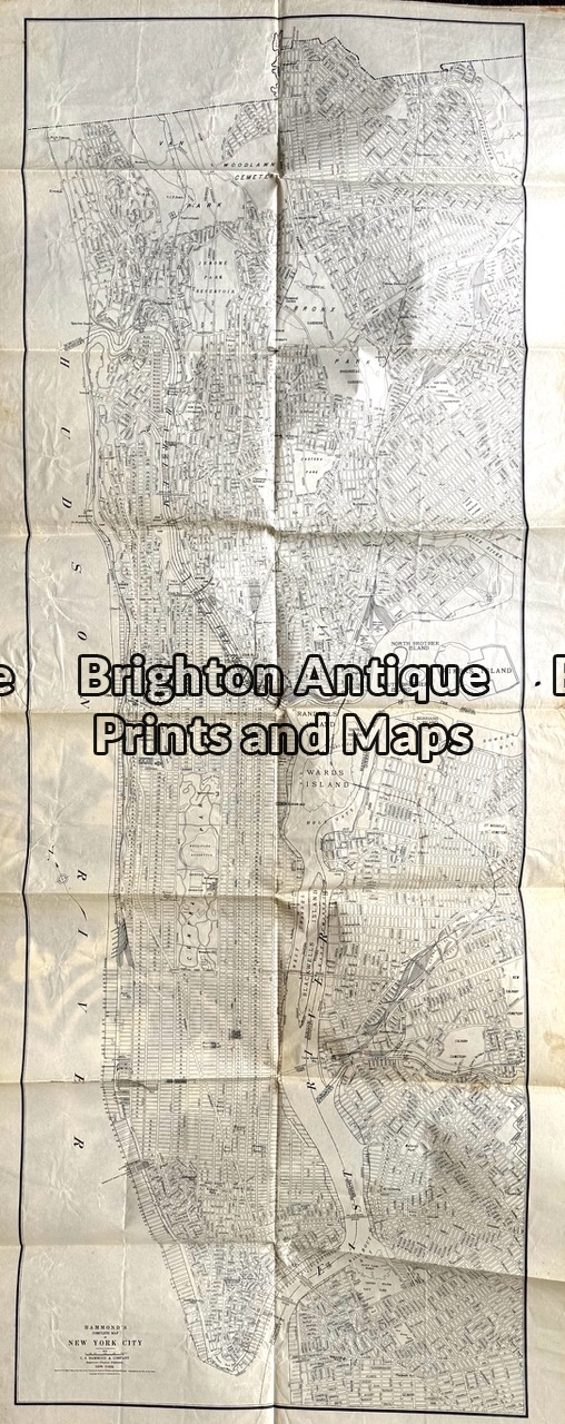
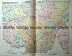
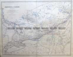
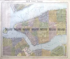
Maps from a Maritime Atlas, published by Philips c.1913
Eastern USA & Canada and shipping routes. Double-page measuring approx 66cm X 44cm.
A Maritime Atlas one year before World War I. Interesting because it was at a time when shipping and shipping routes were of critical importance. 1913 was prior to the loss of German colonies in Africa and New Guinea. Also, the end of the Ottoman Empire.
The map is in good condition and will lie flat when removed from the atlas. We have other maps from the same atlas.
Reviews
There are no reviews yet.