Skip to content
Brighton Antique Prints and MapsBrighton Antique Prints and Maps
  • CURRENCY

    WOOCS 2.1.5
  • VIEW CART
  • Catalogue
  • Home
  • Catalogue
    • Antique Maps
    • Antique Prints
    • Books & Gov’t Reports
    • Manuscript Documents
  • Recent Arrivals
  • About
  • FAQ
  • Register Interests
  • Contact Us
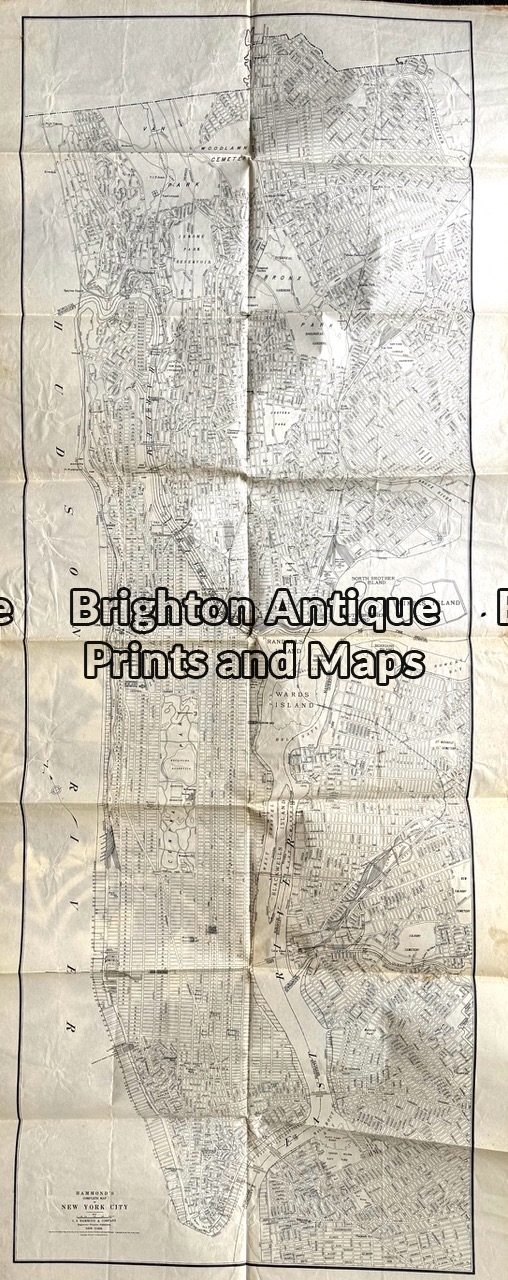
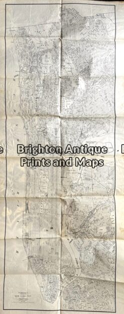
Antique map - Map of New York City c.1917.  Ref:  789-024
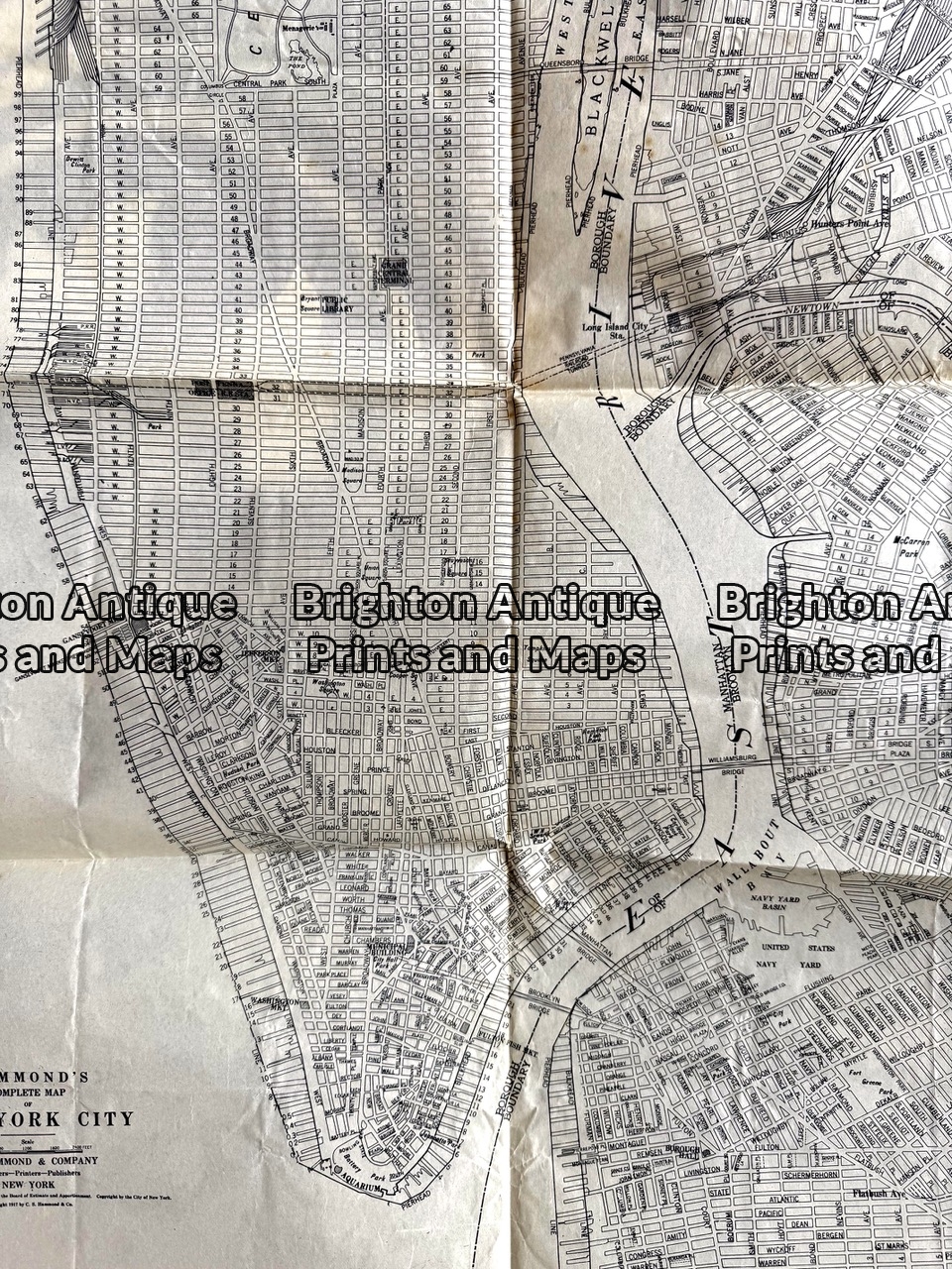
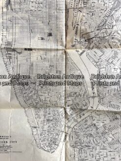
Antique map - Map of New York City c.1917.  Ref:  789-024 - Image 2
Antique map - Map of New York City c.1917.  Ref:  789-024 - Image 3
Antique map - Map of New York City c.1917.  Ref:  789-024
Antique map - Map of New York City c.1917.  Ref:  789-024 - Image 2
Antique map - Map of New York City c.1917.  Ref:  789-024 - Image 3
Home / Antique Prints / America - North / USA - New York
  • 8-200  New York - Central Manhattan by Letts  c.1883

Antique map – Map of New York City c.1917. Ref: 789-024

  • 8-200  New York - Central Manhattan by Letts  c.1883

$490.00

Categories: Eastern USA, USA - New York
  • 8-200  New York - Central Manhattan by Letts  c.1883
Product Categories
  • Antique Maps
  • Antique Prints
    • Australia
    • Advertising
    • Africa
    • America - North
      • USA - Alaska & Klondike
      • USA - Civil War
      • USA - Indians & Cowboys
      • USA - New York
      • USA - Washington & Politics
    • Art Deco
    • Architecture
    • Asia
    • Birds
    • Botanicals
    • Bushrangers
    • Children's
    • David Roberts
    • Decorative
    • Europe
    • Fashion
    • John Gould
    • Medical
    • Military - Land, Sea & Air
    • Natural History
    • New Zealand
    • Planes, Trains and Automobiles
    • Politics
    • Portraits
    • Shipping
    • Sports
    • Troedel - Melbourne Album
    • Vanity Fair
    • Australian Wood Engravings
  • Books & Gov't Reports
  • Manuscript Documents
  • Description
  • Reviews (0)

Map of New York City by Hammond c.1917

Hammond’s Complete Map of New York City, published in 1917.
Approx 21inches X 57 inches when unfolded.
In good condition without tears or damage.

Reviews

There are no reviews yet.

Be the first to review “Antique map – Map of New York City c.1917. Ref: 789-024” Cancel reply

You must be logged in to post a review.
These may also be of interest

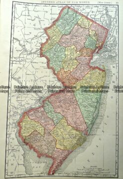
Antique Map 233-246  New Jersey USA by Rand McNally  c.1894

Antique Map 233-246 New Jersey USA by Rand McNally c.1894

$125.00
8-200  Boston Street Map c.1898

Antique Map 8-200 Boston Street Map c.1898

$150.00
Placeholder

Antique Map 4-803 New Orleans street map c.1894

$140.00
8-180 - North America - Eastern United States Johnston - circa 1857 Steel engraving 62cm X 50cm Condition A+

Antique Map 8-180 – North America – Eastern United States Johnston – circa 1857 Steel engraving 62cm X 50cm Condition A+

$300.00
© 2026 BRIGHTON ANTIQUE PRINTS AND MAPS. ALL RIGHTS RESERVED | Website by Blaze Online Credit Card
Visa
PayPal
Stripe
MasterCard
Cash On Delivery
  • Home
  • Catalogue
    • Antique Maps
    • Antique Prints
    • Books & Gov’t Reports
    • Manuscript Documents
  • Recent Arrivals
  • About
  • FAQ
  • Register Interests
  • Contact Us
  • View Cart

Sending...