Skip to content
Brighton Antique Prints and MapsBrighton Antique Prints and Maps
  • CURRENCY

    WOOCS 2.1.5
  • VIEW CART
  • Catalogue
  • Home
  • Catalogue
    • Antique Maps
    • Antique Prints
    • Books & Gov’t Reports
    • Manuscript Documents
  • Recent Arrivals
  • About
  • FAQ
  • Register Interests
  • Contact Us
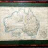
Antique map - Flinders Coastal profiles  c.1814  Ref# 232-869
Home / Antique Maps / Australia & Pacific / Australia - Continent
  • 2-149  Indiae Orientalis by Visscher  c.1680

Antique map – Flinders Coastal profiles c.1814 Ref# 232-869

  • 2-149  Indiae Orientalis by Visscher  c.1680

Category: Australia - Continent
  • 2-149  Indiae Orientalis by Visscher  c.1680
Product Categories
  • Antique Maps
    • World
    • Australia & Pacific
      • Australia - Continent
      • Victoria
      • Victorian Parish & Military Maps
      • Victorian Geological Maps
      • Melbourne
      • NSW
      • Tasmania
      • Queensland
      • WA, SA & NT
      • New Zealand
      • Pacific
    • Britain and Ireland
    • Europe
    • Asia
    • North America
    • South America
    • Africa
    • City Street Maps
    • Geological maps
    • Tallis
  • Antique Prints
  • Books & Gov't Reports
  • Manuscript Documents
  • Description
  • Reviews (0)

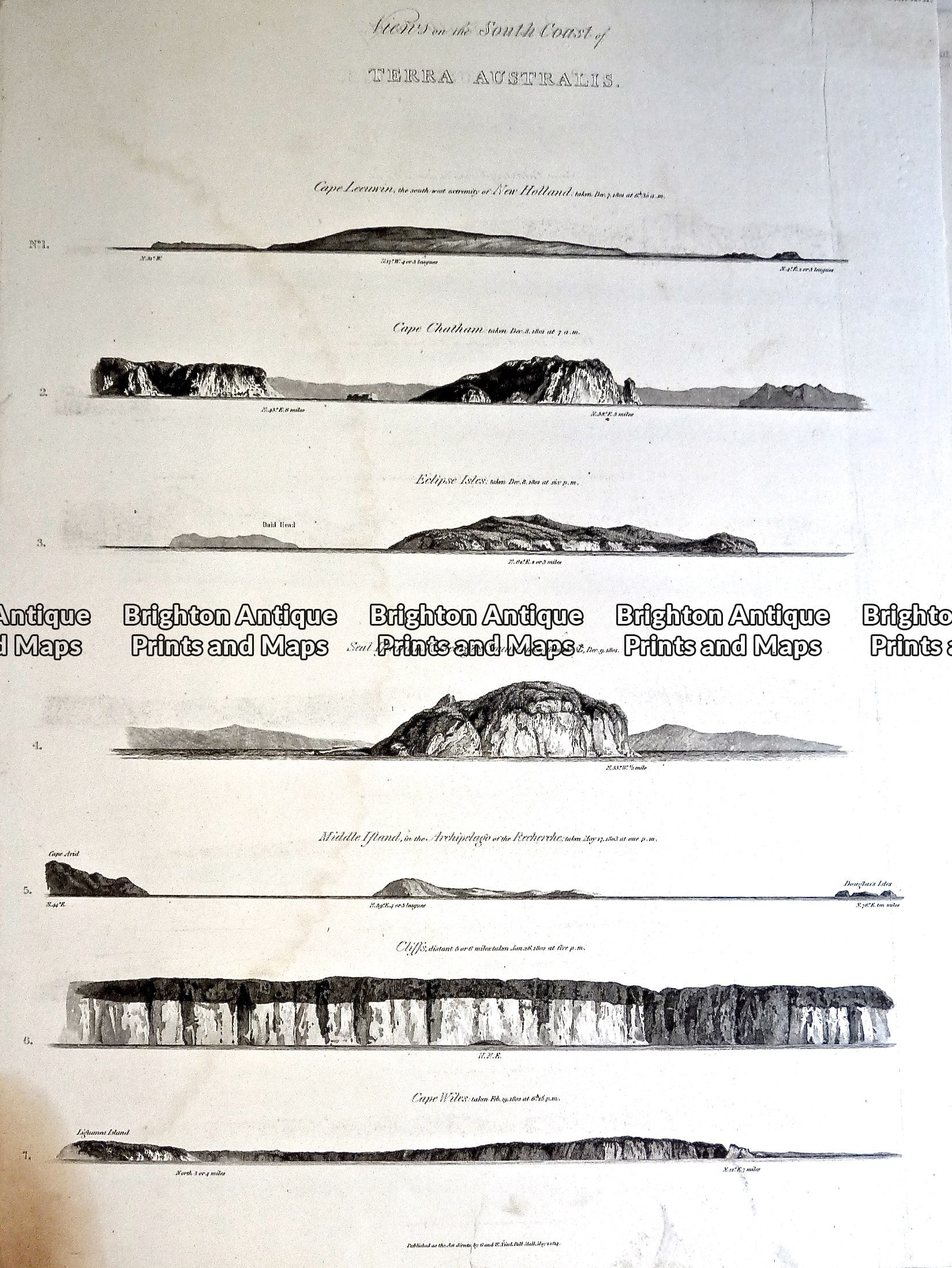
Views on the South Coast of Terra Australis from Flinders Atlas c.1814

Cape Leeuwin
Cape Chatham
Eclipse Isles
Seal Island in K. George’s Sound
Middle Island
Cliffs
Cape Wiles

Copperplate engraving
50cm X 66cm
Condition B (In good condition except bottom left corner which is damaged and stained, much of damage could be covered when mounted)
Reviews

There are no reviews yet.

Be the first to review “Antique map – Flinders Coastal profiles c.1814 Ref# 232-869” Cancel reply

You must be logged in to post a review.

These may also be of interest

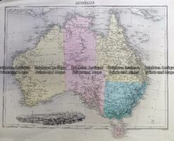
Antique Map 230-539  Australia by Migeon  c.1865

Antique Map 230-539 Australia by Migeon c.1865

$290.00
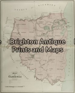
3-068 - New South Wales - Clarence John Sands - circa 1886 Chromolithograph 42cm X 53cm Condition A+

Antique Map 3-068 – New South Wales – Clarence John Sands – circa 1886 Chromolithograph 42cm X 53cm Condition A+

$190.00
Antique Map - Australia & New Zealand by Betts c.1845  Ref: 237-360

Antique Map – Australia & New Zealand by Betts c.1845 Ref: 237-360

$250.00
3-065 - New South Wales Picturesque Atlas - circa 1886 Chromolithograph 61cm X 37cm Condition A+

Antique Map 3-065 – New South Wales Picturesque Atlas – circa 1886 Chromolithograph 61cm X 37cm Condition A+

$125.00
© 2026 BRIGHTON ANTIQUE PRINTS AND MAPS. ALL RIGHTS RESERVED | Website by Blaze Online Credit Card
Visa
PayPal
Stripe
MasterCard
Cash On Delivery
  • Home
  • Catalogue
    • Antique Maps
    • Antique Prints
    • Books & Gov’t Reports
    • Manuscript Documents
  • Recent Arrivals
  • About
  • FAQ
  • Register Interests
  • Contact Us
  • View Cart

Sending...