CURRENCY
$150.00
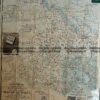
Grampians Victoria
Tourist map of the Grampians c.1933. Approx 45cm X 73cm.
There are no reviews yet.
You must be logged in to post a comment.
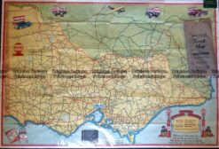
Antique Map – Road Map of Victoria by Vacuum Oil Co. c.1930’s Ref No. 238-005
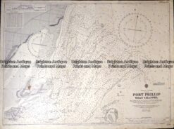
Antique map – Navigation Chart of West Channel Port Phillip c.1903 Ref: 415-027
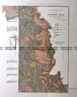
Antique Map 236-020 Geological map of Durham in Victoria c.1890
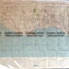
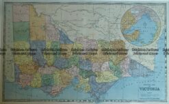
Antique Map – General Map of Victoria c.1886 Ref No. 238-007


Reviews
There are no reviews yet.