Skip to content
Brighton Antique Prints and MapsBrighton Antique Prints and Maps
  • CURRENCY

    WOOCS 2.1.5
  • VIEW CART
  • Catalogue
  • Home
  • Catalogue
    • Antique Maps
    • Antique Prints
    • Books & Gov’t Reports
    • Manuscript Documents
  • Recent Arrivals
  • About
  • FAQ
  • Register Interests
  • Contact Us
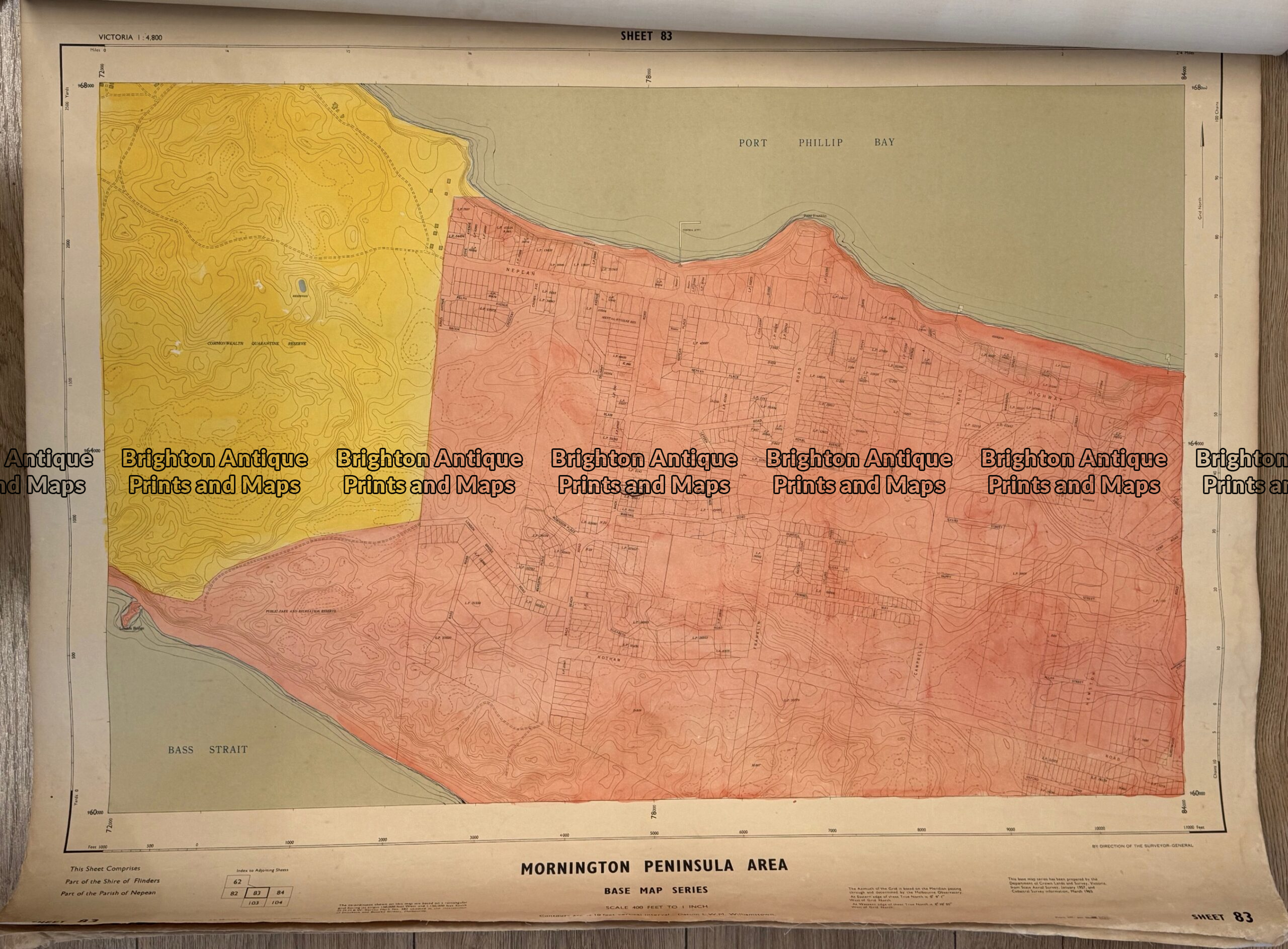
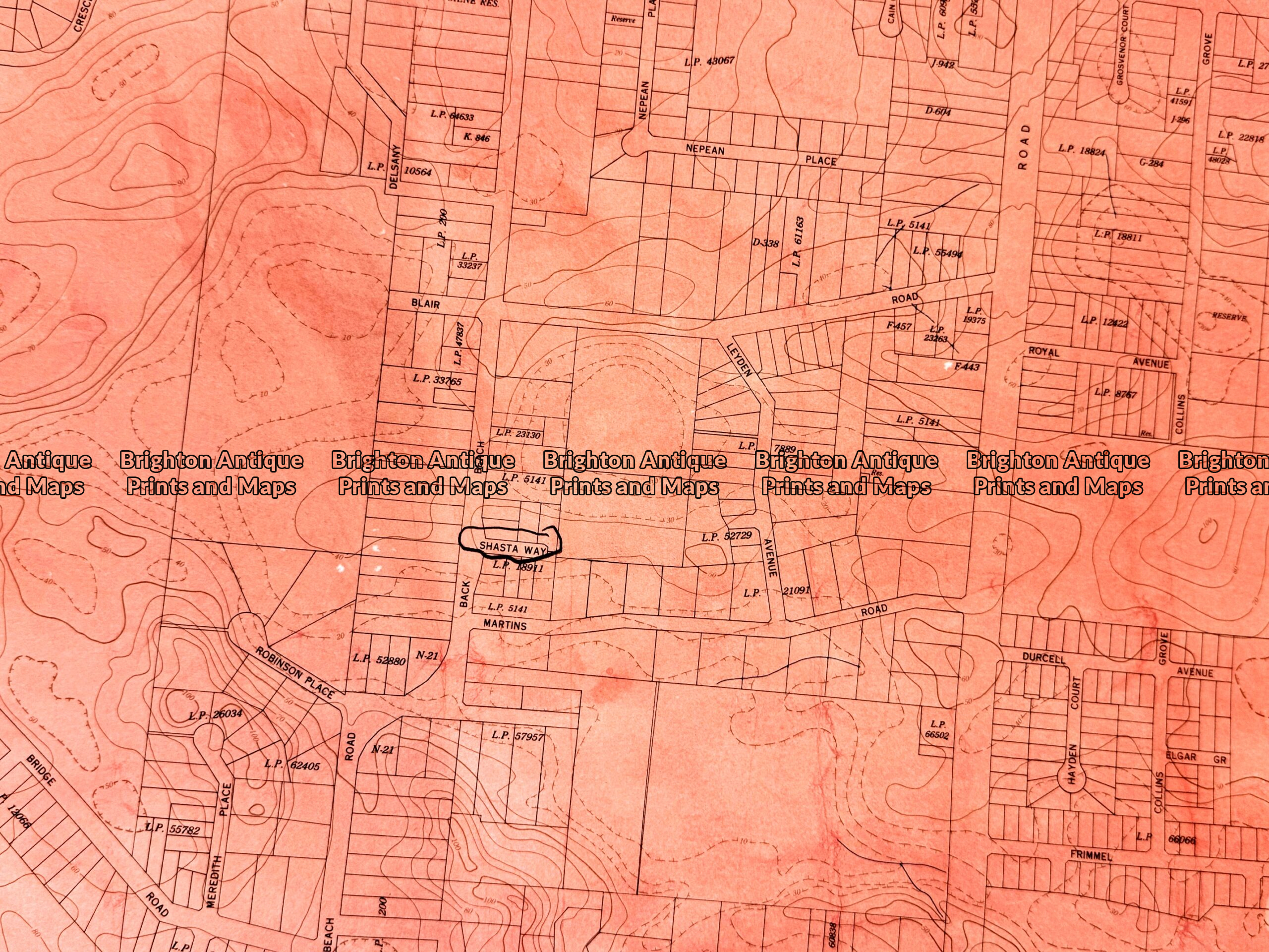
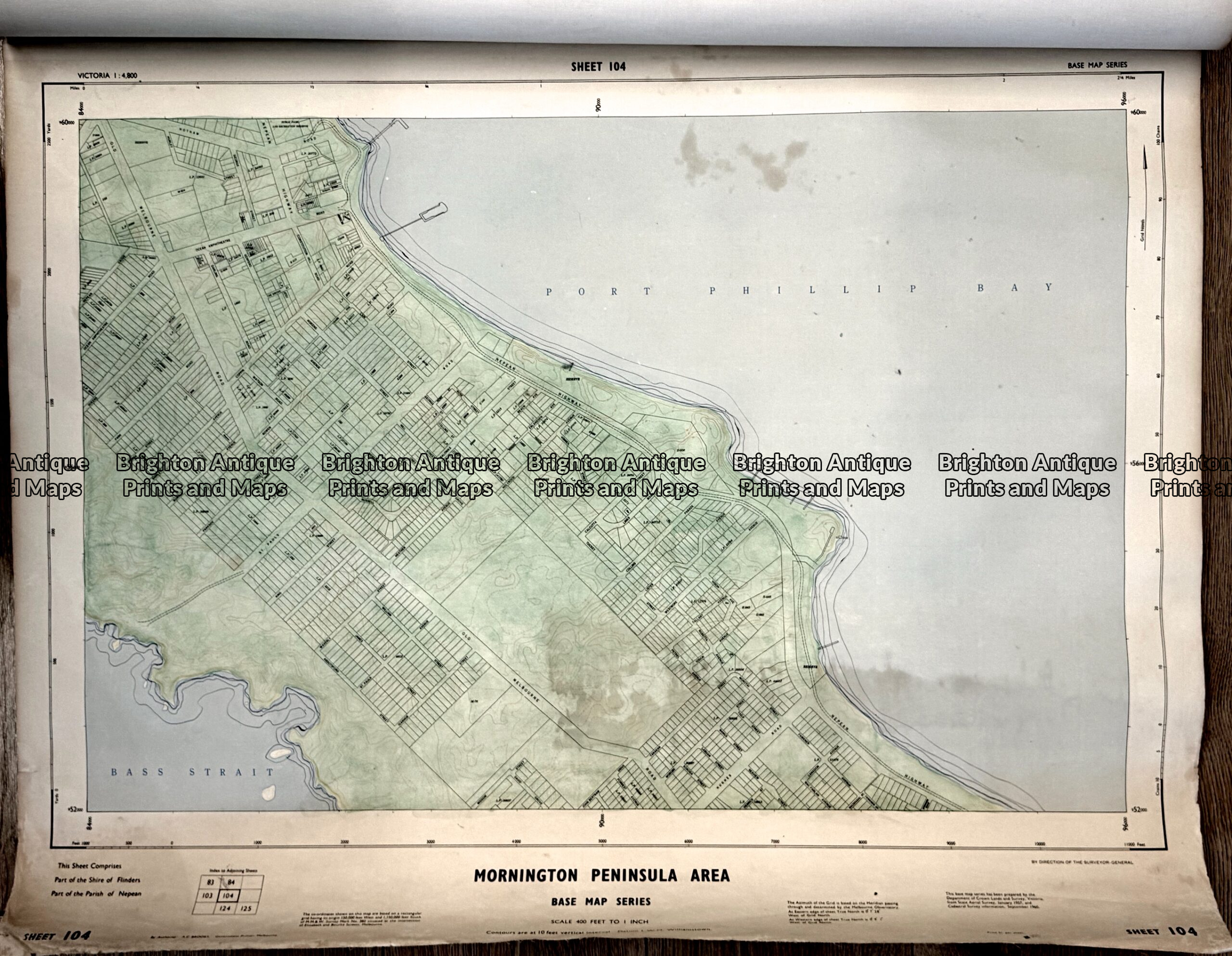
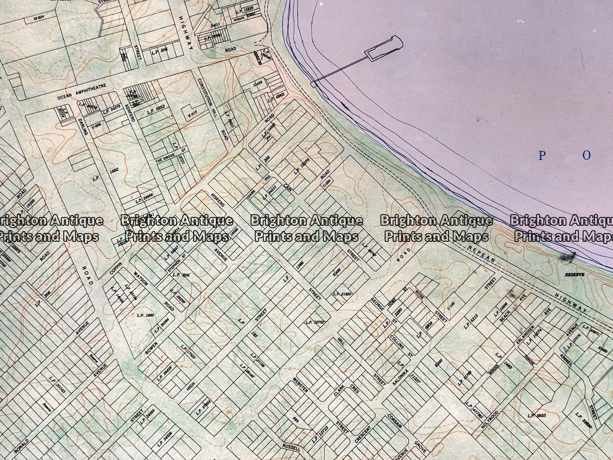
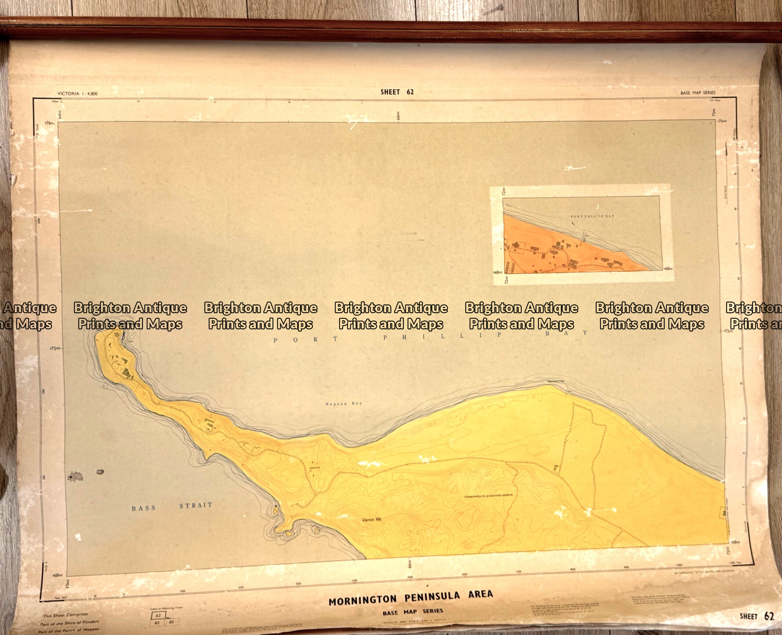
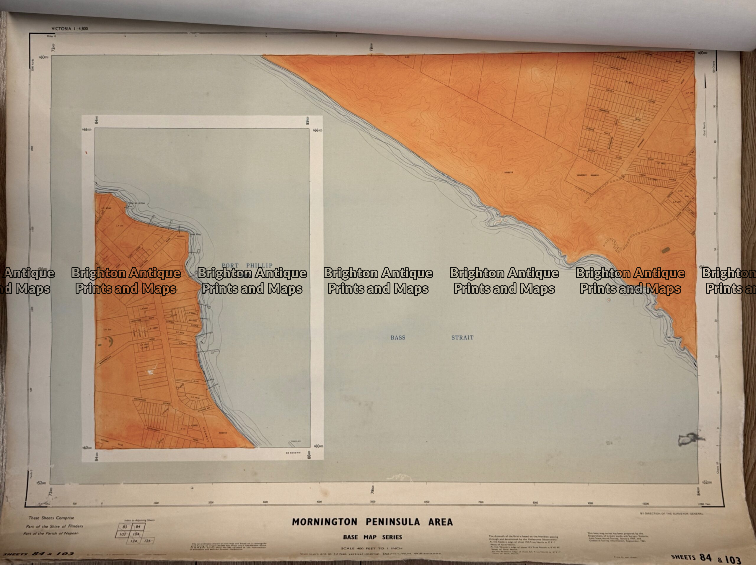
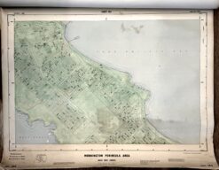
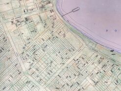
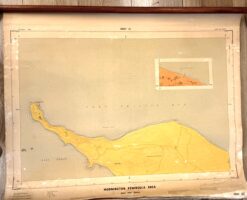
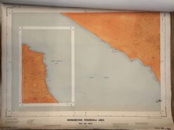
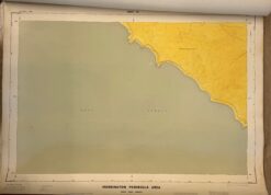
Antique map - Portsea and Sorrento Mornington Peninsula  Ref:888-221
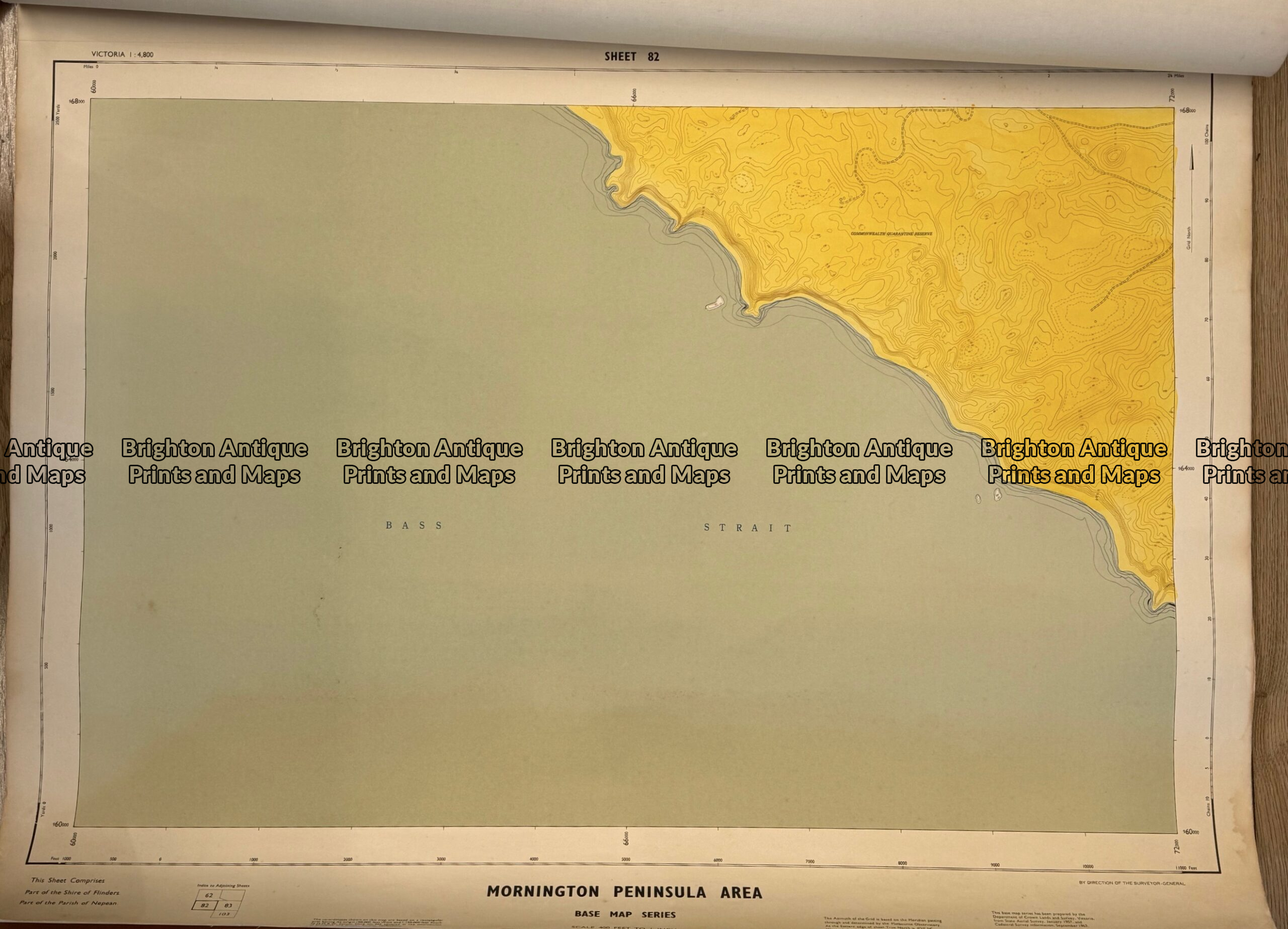
Antique map - Portsea and Sorrento Mornington Peninsula  Ref:888-221 - Image 2
Antique map - Portsea and Sorrento Mornington Peninsula  Ref:888-221 - Image 3
Antique map - Portsea and Sorrento Mornington Peninsula  Ref:888-221 - Image 4
Antique map - Portsea and Sorrento Mornington Peninsula  Ref:888-221 - Image 5
Antique map - Portsea and Sorrento Mornington Peninsula  Ref:888-221 - Image 6
Antique map - Portsea and Sorrento Mornington Peninsula  Ref:888-221 - Image 7
Antique map - Portsea and Sorrento Mornington Peninsula  Ref:888-221
Antique map - Portsea and Sorrento Mornington Peninsula  Ref:888-221 - Image 2
Antique map - Portsea and Sorrento Mornington Peninsula  Ref:888-221 - Image 3
Antique map - Portsea and Sorrento Mornington Peninsula  Ref:888-221 - Image 4
Antique map - Portsea and Sorrento Mornington Peninsula  Ref:888-221 - Image 5
Antique map - Portsea and Sorrento Mornington Peninsula  Ref:888-221 - Image 6
Antique map - Portsea and Sorrento Mornington Peninsula  Ref:888-221 - Image 7
Home / Antique Maps / Australia & Pacific / Victoria
  • 3-870  New South Wales and South Australia c.1845

Antique map – Portsea and Sorrento Mornington Peninsula Ref:888-221

  • 3-870  New South Wales and South Australia c.1845

$990.00

Category: Victoria
  • 3-870  New South Wales and South Australia c.1845
Product Categories
  • Antique Maps
    • World
    • Australia & Pacific
      • Australia - Continent
      • Victoria
      • Victorian Parish & Military Maps
      • Victorian Geological Maps
      • Melbourne
      • NSW
      • Tasmania
      • Queensland
      • WA, SA & NT
      • New Zealand
      • Pacific
    • Britain and Ireland
    • Europe
    • Asia
    • North America
    • South America
    • Africa
    • City Street Maps
    • Geological maps
    • Tallis
  • Antique Prints
  • Books & Gov't Reports
  • Manuscript Documents
  • Description
  • Reviews (0)

Portsea, Sorrento and Back Beach including street plans c.1965
Set of five maps clamped together with wooden rod

Hand-coloured linen-backed
Sheet size approx 86cm X 72cm

Price for set of five maps $990

Reviews

There are no reviews yet.

Be the first to review “Antique map – Portsea and Sorrento Mornington Peninsula Ref:888-221” Cancel reply

You must be logged in to post a review.
These may also be of interest

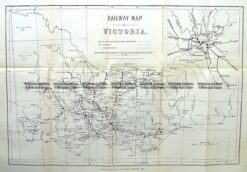
9-813  Victoria Railway Map  c.1883

Antique Map 9-813 Victoria Railway Map c.1883

$150.00
Antique Map - Victorian Water Supply c.1890  Ref No. 238-002

Antique Map – Victorian Water Supply c.1890 Ref No. 238-002

$125.00
Antique Map 233-452  Victoria - County of Villiers by Bailliere  c.1866

Antique Map 233-452 Victoria – County of Villiers by Bailliere c.1866

$1,500.00
Antique Print Antique Map 233-232  Gold Mines in Victoria - Cross-section detail  c.1880's

Antique Print Antique Map 233-232 Gold Mines in Victoria – Cross-section detail c.1880’s

$50.00
© 2026 BRIGHTON ANTIQUE PRINTS AND MAPS. ALL RIGHTS RESERVED | Website by Blaze Online Credit Card
Visa
PayPal
Stripe
MasterCard
Cash On Delivery
  • Home
  • Catalogue
    • Antique Maps
    • Antique Prints
    • Books & Gov’t Reports
    • Manuscript Documents
  • Recent Arrivals
  • About
  • FAQ
  • Register Interests
  • Contact Us
  • View Cart

Sending...