

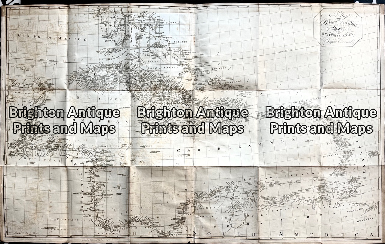
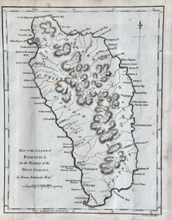
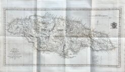
Antique maps of Islands in the West Indies by Bryan Edwards
Extracted from the 1818 edition of Edwards’ book “History of the British West Indies”.
Copperplate engraving on good quality paper
Approx 113cm X 69cm
Condition A+
Antique maps of Islands in the West Indies by Bryan Edwards
Extracted from the 1818 edition of Edwards’ book “History of the British West Indies”.
Copperplate engraving on good quality paper
Approx 113cm X 69cm
Condition A+
You must be logged in to post a review.



Reviews
There are no reviews yet.